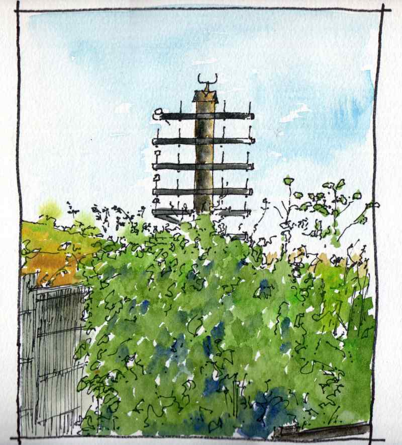
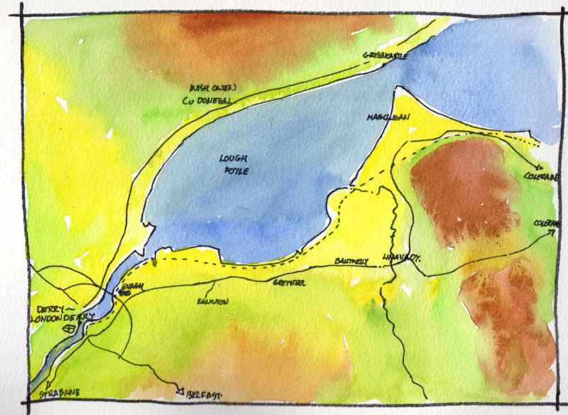
At the bottom of the park along the riverside is the Waterside Greenway, This links the park to the Peace Bridge and the Foyle Bridge along the recently modernised railway track. At one point the path swings away from the railway and amid an area of dense vegetation is a reminder of its history - a former telegraph pole along the trackside which once supported 26 separate wires! Prior to the second world war electrical wires had to be insulated using natural material such as rubber which degraded over time, and it was more economical to suspend telephone and telegraph wires from glass or ceramic insulators on the lineside telegraph poles. Spare capacity was often rented to the Post Office for its telephone network. The railway was opened as the Belfast and Northern Counties Railway in 1860 though the telegraph poles would not have been erected before the 1890′s.
0 Comments
Within sight of St Brecan’s church is this fine statue. Set within a circle of mature trees it is part of a heritage trail linking major ecclesiatical sites within the city. The statue is of St Columba ‘dove of the church’ and reputed founder of the city. He is reaching up to touch a dove with his fingers,- the symbol of peace in a very peacefull and atmosperic place- but it is also like he is passing on the great history and heritage of the city to a new generation to make their own. Worth a visit.
Lets start at Clooney church. Located in the grounds of St Columb’s Park in the Waterside area of Derry~Londonderry not far from the Limavady Road (which is renamed Clooney Road as it leaves the city). The church today looks much as drawn on the first map of the city drafted by the invading English in 1600. It is ruinous, on top of a small hill and retains its gables. In fact, the building was rebuilt in the 1620′s and has since fallen into ruin again. It is thought to have been previously rebuilt in the 1580′s following the demolition of the previous church in the 1480′s by the local Bishop. The building is recorded as having been plundered by the Normans in the 1190′s and is thought to be the site of the ancient church of ‘Cluain-i’. It is associated with St Brecan -an early Irish saint thought to be from Movilla in Co Down with a feast day of 16 July. In the nineteenth century it became an eye catcher within the landscaped grounds of a merchant’s house and today is located within a civic park. It is an atmospheric place, timeless in its bueaty. Going to take a detailed look at the built heritage along the east bank of the Foyle over the next month or so. There is lots to see, from ancient churches to World War II airfields. The main ‘Clooney Road’ links Derry~Londonderry to Limavady and runs above reclaimed land along the side of the Lough. In tourist terms this is the first part of the ‘Causeway Coastal Route’ to Belfast.
Back to Derry~Londonderry. This is a view of the river from the BT48 Aparthotel. In the foreground is Rock Mills- the last of a row of warehouses and factories that once lined its banks. Built in 1846 in stone with yellow brick trims, it was converted to student housing in 1990 and over the last year to self contained flats. Beyond are a range of apartments from the early 2000′s and in the distance the Foyle Bridge of 1984. In the foreground is the riverside walkway, a popular route served by cafe’s and restaraunts which links the city’s three bridges. Downstream to Derry~Londonderry,- the port from which Strabane’s goods were exported in the nineteenth century.
Rossnagaliagh, just outside New Buildings is recorded as the location of a medieval convent. Ruins were recorded in the 1830’s and a holy well was still looked after in 1978 and recorded in poor condition in the 2000’s. I found no trace of this in January 2015. The field, however, is atmospheric and has a lot of rubble stone along its margins.
Behind the house the remains of an earlier bawn was excavated in 2013. The foundations of a circular flanker tower were uncovered. A fragment of the tower with a musket loop had become part of the boundary wall of the property. Its discovery resulted in the excavation. The tower was found to be large for the type, yet a fortified building at this location is not indicated in early Plantation maps. The excavators have tentatively suggested a date between 1620 and 1640 for the structure. Just above is Prehen House, Dating from 1740, this elegant Georgian mansion was once set within a large demesne and rendered. Though a U shaped building, it was deliberately designed to look square as the front and side elevations are of the same length. Its architect was Michael Priestly, who also designed Lifford Courthouse Moving south along Victoria Road an interesting building is hidden among the trees on the slope above. This is a house by a pupil of Frank Lloyd Wright designed in 1952 by Sean Kenny. When seen from the other side of the river it fits very well into its wooded surroundings
|
Marks of Time
Sketches of buildings in the North West of Ireland and further afield with a little information about their history. Categories
All
Archives
April 2024
|