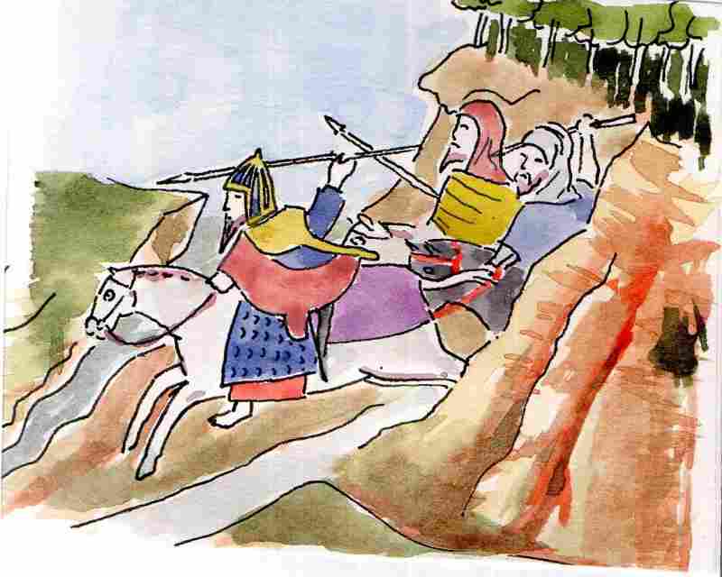
The Normans encountered warriors who looked something like this. This drawing is based upon an illustration in a book of 1399 by a Jean Creton who travelled to Ireland with Richard II. The original is in the British Library
|
The Normans encountered warriors who looked something like this. This drawing is based upon an illustration in a book of 1399 by a Jean Creton who travelled to Ireland with Richard II. The original is in the British Library
0 Comments
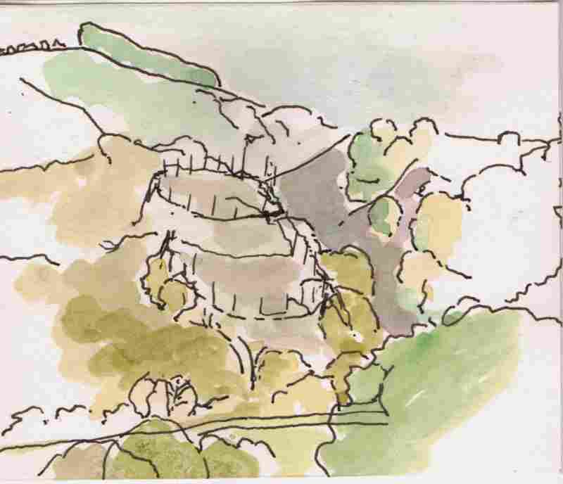
On the opposite side of the river, and a little further north, is Fincarn Glen. A ‘motte’ is indicated here on Ordnance Survey maps. Mottes are associated with the arrival of the Normans. They conqured the eastern part of Ulster in 1177 and are recorded as raiding this area in the subsequent years. Access to this point could be relatively easily achieved by boat from Lough Foyle. The Northern Ireland Monuments and Buildings Record however, points out that there are no records of Norman building activity here and that the construction may therefore just be a local defensive earthwork that, because of the topography, bears a passing resemblance to a motte
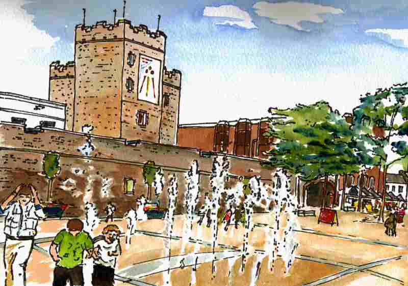
Looking forward to #DerryWallsDay today 12.30 -5.00. @HeritageWeek
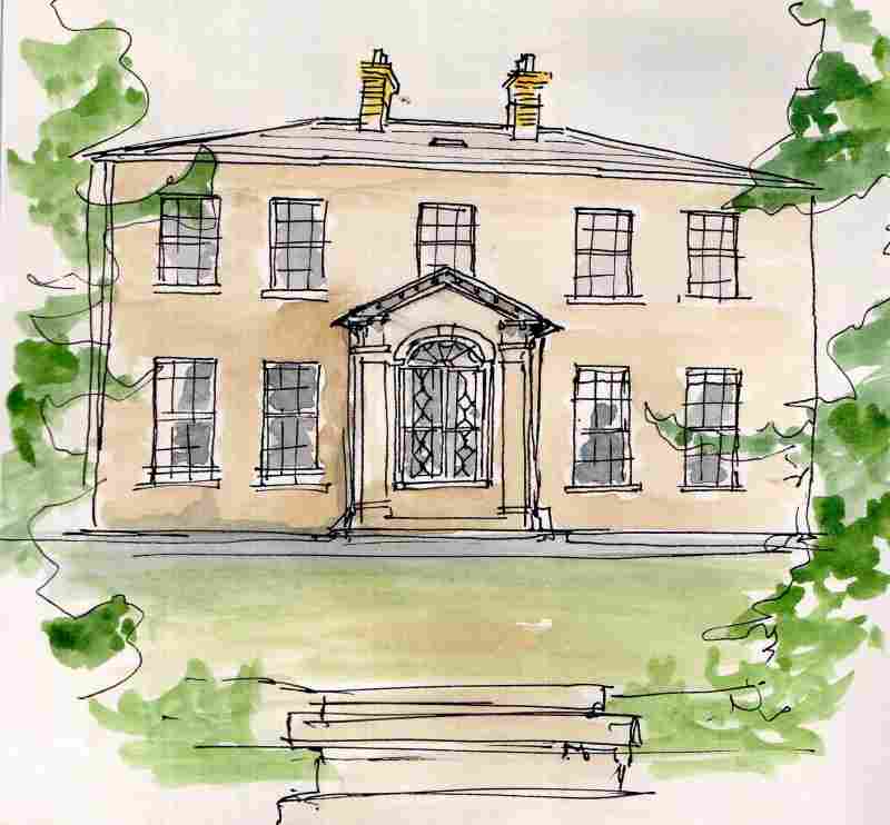
Further along the Faughan, Brookhill House of 1795 is a fine Georgian House overlooking the river valley.
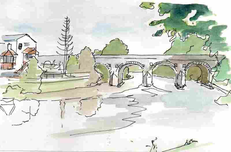
Drumahoe Bridge, nearby, dates from the Eighteenth Century and was widened to take the main road to Belfast when this was relocated from the southern side of the Faughan in the mid Nineteenth Century. Underneath, a change in stonework clearly indicates the line of the extension.
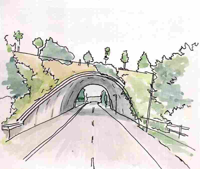
Beside the church is a dramatic modern underpass dating from 1967. Designed by Sir Derek Halcrow and Partners of London. The soaring parabolic arch is high enough to accommodate a street lamp underneath.
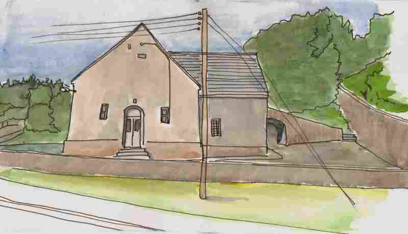
The former 2nd Glendermott Presbyterian Church is a little further along the valley at the bottom of Church Brae. This was founded in 1744 following a split in the congregation on doctrinal matters. The two congregations were reunited at the beginning of the Twentieth Century. The building is of a simple and elegant ’T plan’ shape with a small foundation plaque above the door.
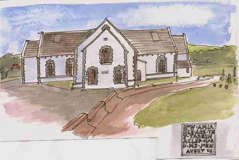
Glendermott Presbyterian Church is further along the valley and is also linked to the medieval church. The reformed minister of the church left to set up the new congregation after the Restoration of the monarchy following the Cromwellian Commonwealth. This re-imposed Anglican forms of worship in the Church of Ireland. This building is the oldest with a surviving roof in the area with a foundation stone in its porch dating it to 1696 - 'How amiable are thy tabernacles o Lord. Ms John Avery 1696’
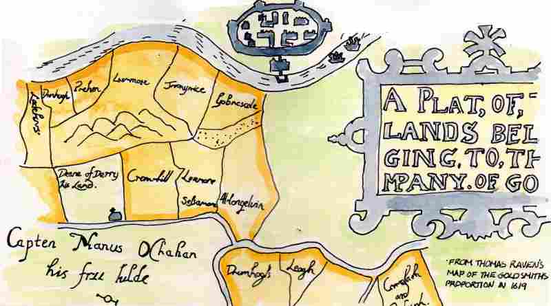
This map, of what is now much of the Waterside area of the city and pointing west at the top, is a copy of one drawn in 1619 just after the Ulster Plantation. It shows the medieval church of Clondermott, appropriately, on land owned by the church. Altnagelvin townland and those to the south and east are indicated as owned by the Goldsmith’s Company. This London Company was one of 12 who received ‘proportions’ in the new county of 'Londonderry’ from the King in the Plantation. This was in response for substantial funds and came with conditions such as the requirement to build a 'bawn' on every proportion of 1000 acres and that 10 British families had to be settled on each area of this size. The Goldsmiths bawn was in New Buildings to the south of this map. Some Gaelic lords received/ retained lands in the new arrangement such as Captain Manus O'Cahan. He is indicated on this map owning the area to the east and south of the River Faughan and its tributary the Burngibbagh, ( now Tullyalley and Ardmore). To the west at the top of the map can be seen the River Foyle and the new walled city of 'Londonderry’.
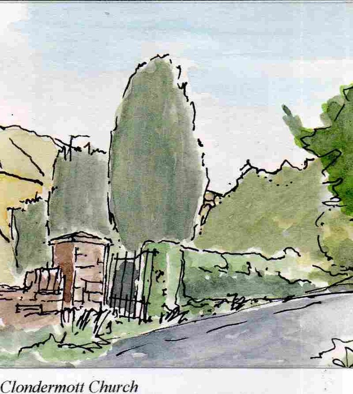
The Church of Ireland congregation worshiped in the medieval church of the area before relocating to their current location in 1753. Its overgrown ruins lie in Clondermott graveyard, located at the bottom of the hill and south along the Faughan River. The foundation of a church on this site has long been associated with St Columba. A nearby townland called ‘Cromkille’ has been argued as evidence of this. It was also the church associated with the Clan Dermott, lords of this area from around the Ninth to the Seventeenth Centuries.
|
Marks of Time
Sketches of buildings in the North West of Ireland and further afield with a little information about their history. Categories
All
Archives
June 2024
|

 RSS Feed
