|
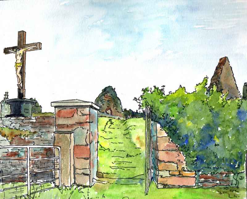
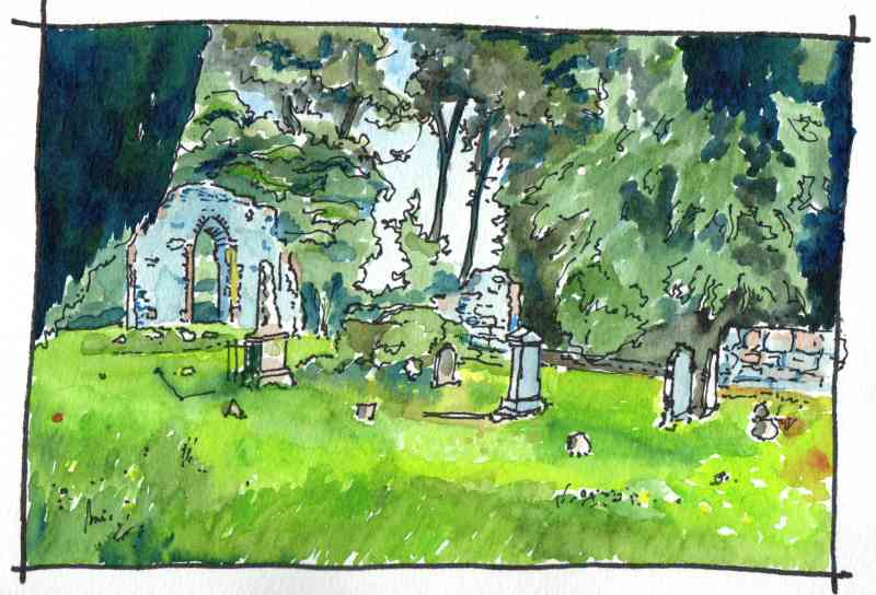
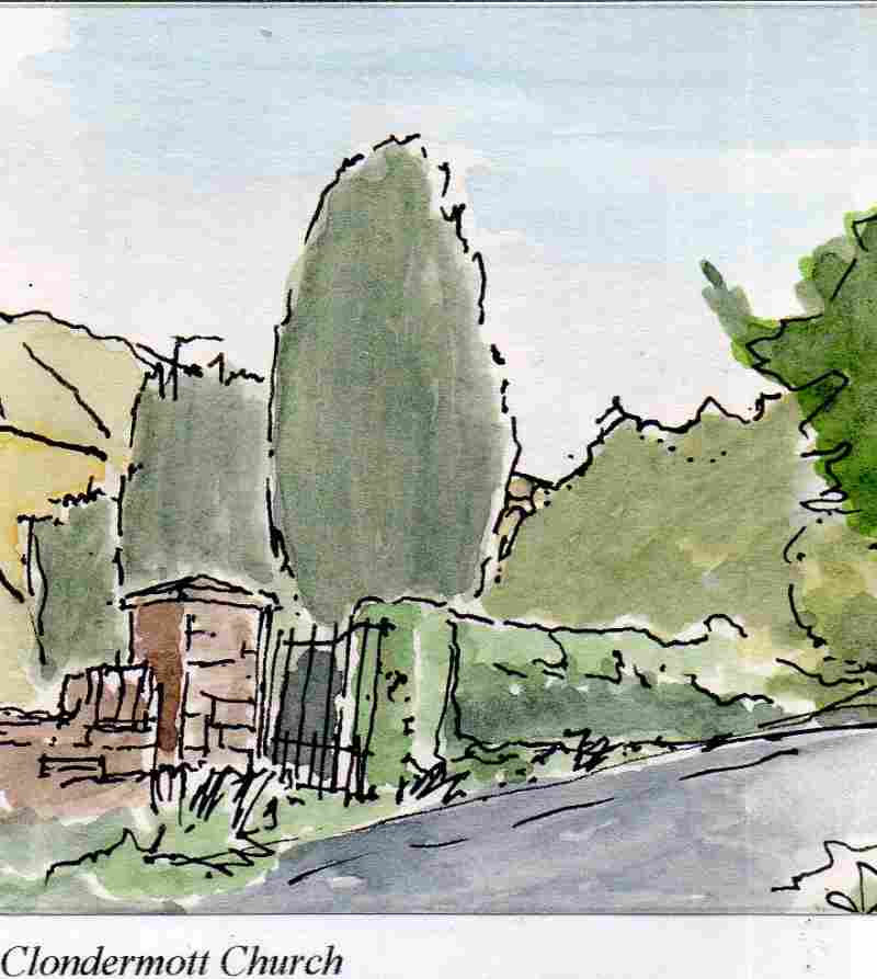
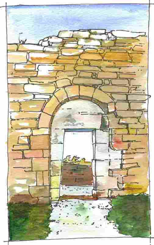
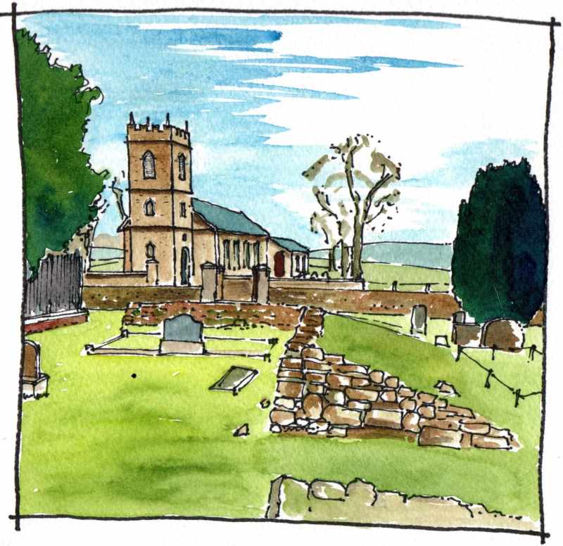
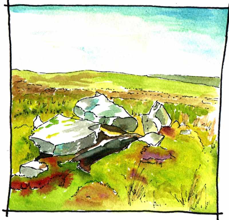
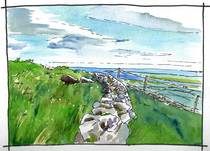
Happy St Patrick’s Day. The Tripartite Life of the saint (7th century) says that he crossed the Foyle and stayed for seven weeks in the neighbourhood of the Faughan Valley and that during this time he laid the foundation of seven churches. If true these would all have been timber churches but would have been replaced in stone from around the tenth century. Linking the names given in the saint’s life to modern places is difficult but some have suggested the following surviving sites as potential candidates: Faughanvale (first sketch above); Enagh Lough (second sketch); Clondermott (third sketch); Straidarran; and Banagher (final sketch).
0 Comments
634.www.Marksoftime.com
Balteagh Parish Drumsurn Road Limavady was constructed in 1815 and is a typical Church of Ireland ‘tower and hall’ church. Classical influences are apparent in the pitch of its roof and the return of the cornice line to form a pediment but the windows are Gothic and the tower battlemented with spikes. Opposite is the ruin of its predecessor -the medieval church which is thought to have been early. It is mentioned in a valuation of 1306 and was reported in the Ordnance Survey Memoirs of 1833 to have been standing and in use until 1777 when it was damaged by storms. In the 1830′s a tudor like window with three mullions was recorded on the end gable. Today church and graveyard make an atmospheric group and stand sentinel to the long history of Christianity in this area. Back along the Windyhill Road towards Limavady and off to one side is Largantea Wedge Tomb. This is thought to be around 4,000 years old. The south facing ‘Wedge Tomb’ has been disturbed by excavation but has a large stone cap over one end. When archeologically excavated in 1936 it was found to contain the cremated remains of several adults and two infants. A bone dagger pommel and bronze blade were also recovered. The excavation was important for the time because it was the first discovery of ‘beaker’ pottery in an Irish megalith, This helped to establish that such tombs dated from or were at least used in the bronze age. When built the tomb would have been covered by a cairn of stones. Today, it is an overgrown group of large stones in a bog, but these are stones which are full of history and that speak of the long human occupation of this place.
On the far side of Binevenagh guarding the Windyhill Road as it descends from the Roe Valley into the flat plain surrounding Coleraine, the Giant’s Sconce or Dun Ceithirn was another important Iron Age Fort. From here there are extensive views across the Antrim Plateau almost all the way to Belfast. The only hill is Slemish Mountan near Ballymena far in the distance. It feels like the edge of the world. The name the fort is supposed to relate to grianan-of-aileach.htmlthe son of a Uliad king and the site was the location of a battle, predicted by St Columba, between the Uliad - the men of Ulster - and the Ciannachta who were based in the Roe Valley in 681AD. Like the more famous Grianan in Co Donegal, this fort is reported to have had very thick walls with a passage down the centre. The walls are now tumbled but the curve of the fortification can still be understood. It is a very atmospheric place, well worth the visit. |
Marks of Time
Sketches of buildings in the North West of Ireland and further afield with a little information about their history. Categories
All
Archives
June 2024
|

 RSS Feed
