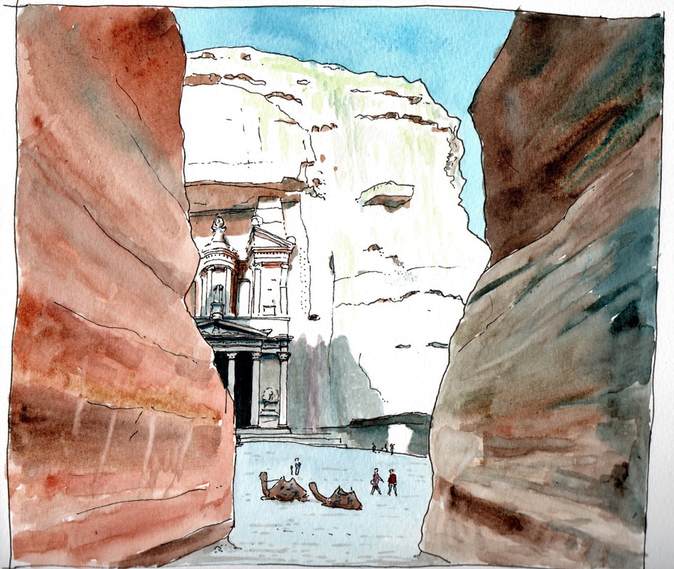
I have discovered that you can take a guided walk though the ruins of Petra on Google Street View, and what a place it is. Located in the dessert beside a valley running from the Dead Sea to the Gulf of Aqaba, it is thought to have been founded in the 4th century BC but flourished with up to 20,000 inhabitants in the first century AD. It is an extensive complex with the remains of many rock cut tombs, a theatre, and a colonnaded market place. It was home to the Nabataean people who were only conquered by the Romans in 106 AD. The city's wealth came from being on a trade route. This and the city declined after sea routes emerged and it was hit by a devastating earthquake in 363 AD. It was largely abandoned by the early Islamic era. It was designated as a World Heritage Site in 1985.
|
The Khazneh el Faroun, or Treasury of the Pharaoh, Petra, Jordan, from its access route along the Siq gorge.
I have discovered that you can take a guided walk though the ruins of Petra on Google Street View, and what a place it is. Located in the dessert beside a valley running from the Dead Sea to the Gulf of Aqaba, it is thought to have been founded in the 4th century BC but flourished with up to 20,000 inhabitants in the first century AD. It is an extensive complex with the remains of many rock cut tombs, a theatre, and a colonnaded market place. It was home to the Nabataean people who were only conquered by the Romans in 106 AD. The city's wealth came from being on a trade route. This and the city declined after sea routes emerged and it was hit by a devastating earthquake in 363 AD. It was largely abandoned by the early Islamic era. It was designated as a World Heritage Site in 1985.
0 Comments
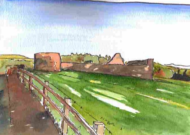
What a lovely night. Nice low evening sun. Reminded me of the evening I did this drawing of Brackfied Bawn a few years ago. Brackfield was one of two bawns ( fortified plantation houses) built on the 'proportion' of land allocated to the Skinners Company as part of the Ulster Plantation. It was built by Sir Edward Doddington (also credited as builder of the Derry Walls) in 1611 and consists of a square walled courtyard with the remains of a house and its gable on the south side and two projecting circular 'flankers' which would have provided a vantage point for covering fire for anyone attacking the building on the south east and north west sides. A 1619 account reports that there was a church nearby, a village of 12 houses and 'armaments'. In 1622 mention was made of a 'watermill'. Today there is no village but a number of buildings including a dramatic Presbyterian Church and a nice former school. To the south are the roadworks for the A6 dualing inching closer to the building. The original main road of course is the one drawn here which past the northern entrance to the fortification.
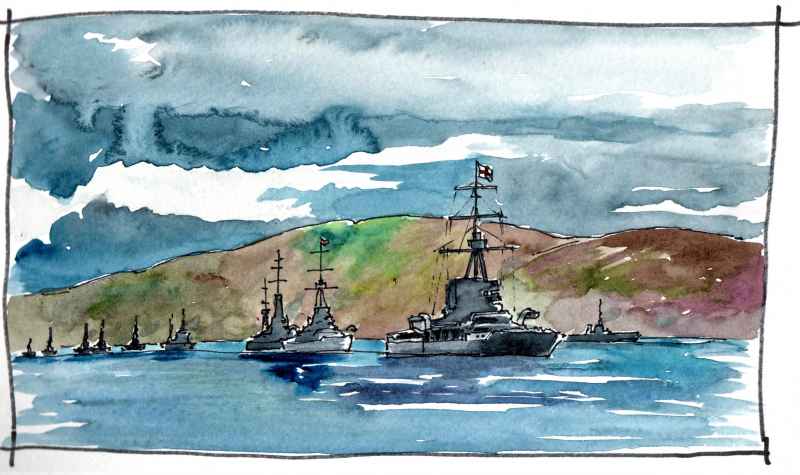
On the 22 October 1914, the people of Lough Swilly woke up to find 40 ships of the Imperial Grand Fleet anchored in the channel. The day before a U Boat had penetrated the defences of Scapa Flow and Admiral Jellico decided to move the fleet to the safety of Lough Swilly, which was defended by 7 military forts along its length. They stayed for a month while defences were improved at Scapa Flow. A mechanical boom was strung across the lough from Neds Point fort north of Buncrana to Macamish on the other side.
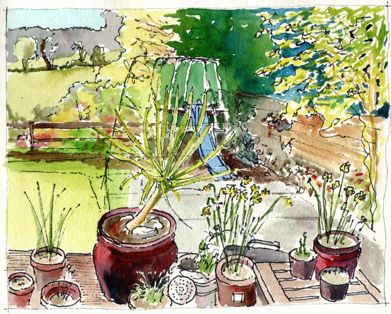
Happy lockdown Easter everyone. This is part of my back garden, where I was sitting and sketching yesterday. At least the sun has been shining!
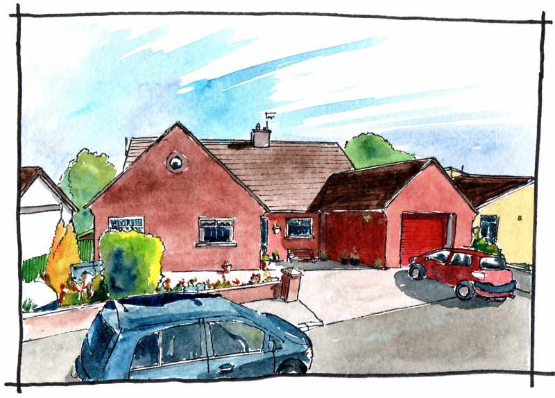
Finally, in Dunseverick Park, the house he bought on his retirement in 2000. The location for many family events
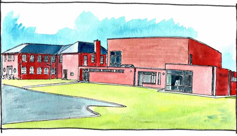
Foyle U3A building, Gransha estate, Derry. The modernist extension by Michael Carr of Michael Hegarty Architects was completed in 2012. The extension more than doubled the accommodation available to members and includes art rooms, sports facilities, and a large muti-disciplinary hall. My dad managed the development of the idea and organised bids for funding from the Arts Council and Sports NI. He acted as client when engaging with the design team and in thanks the U3A named the multi- disciplinary hall after him - the Pat Deery Hall.
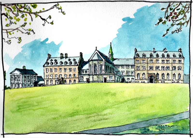
St Columb's College, Bishop Street, Derry, where my dad was a student in the 1950's and a teacher in the 1960's
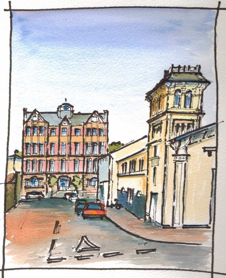
Now Lumen Christi College, the site was the location of a 'casino' for Earl Bishop Hervey in the late eighteenth century (the term casino in 18th century Italian means little house and was often used to describe a small classical residence within a wider estate). The site was sold to the Catholic Church in 1869, for the development of a seminary, and the three story house on the left of this drawing was constructed by 1877. The North Wing followed in 1893. In 1898, the museum library and recreation hall (far left) was completed. The composition was finished in 1941 with the demolition of the casino (which had been converted to a chapel) and the construction of the current chapel. This results in a memorable Gothic form of spikey roofs and dormers on the top of a hill. Following the 1947 Education Act, attendance at the school trebled and this resulted in the erection of temporary classrooms in the school grounds (one of which was my Dad's maths class for much of the 1960's). The school opened a new site at Buncrana Road in 1973 with this building continuing as the junior school until, with a further extension at Buncrana Road, the school left completely in 1997. A co-educational grammar school - Lumen Christi- was then established in these buildings. Derry Tech, then the North West Institute of Further and Higher Education, where dad taught for 28 years, retiring in 2000 as Deputy Director.
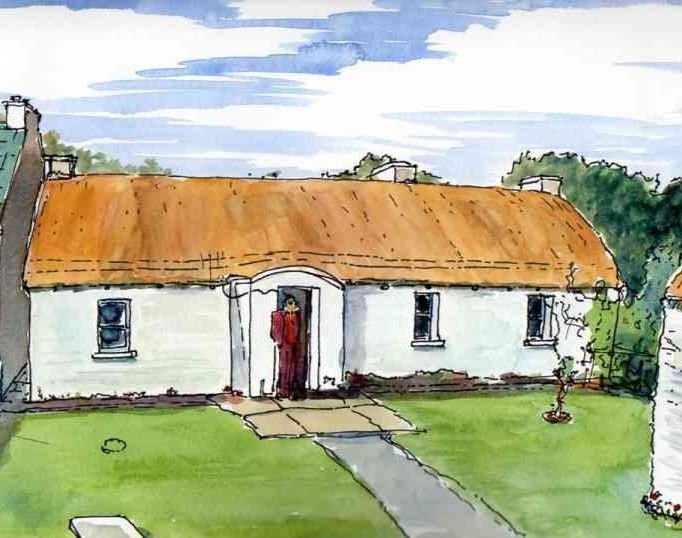
Barney Big Dan's Cottage in Upper Annagh, Clonmany, is where we spent ten summers from 1974. Three rooms with no running water and chemical toilet in the barn at the bottom of the garden. It was dark but very warm and comfortable and with a fantastic view from the front door across the valley to Crockaughrim. A great base for family holidays.
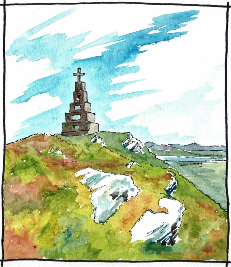
The top of Bulbin overlooking Clonmany in Co.Donegal. Towering over the village, the mountain with its cross was a favourite destination during the ten summers our family spent in the area. Dad's rule was 'three days without rain' before a climb could be attempted. Some summers that never happened!
The cross was constructed by locals in the early 1930's to celebrate the Eucharistic Congress of Dublin in 1932. This was one of the largest eucharistic congresses held in the 20th century and an estimated quarter of the population of the island attended the last event - a mass in Dublin's Phoenix Park. It was a big deal. In Clonmany, material for the cross was transported by horse and cart as far as possible and then by hand up the remainder of the mountain. It was a true community effort, |
Marks of Time
Sketches of buildings in the North West of Ireland and further afield with a little information about their history. Categories
All
Archives
June 2024
|

 RSS Feed
