
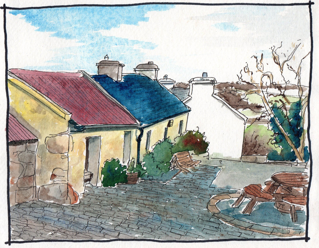
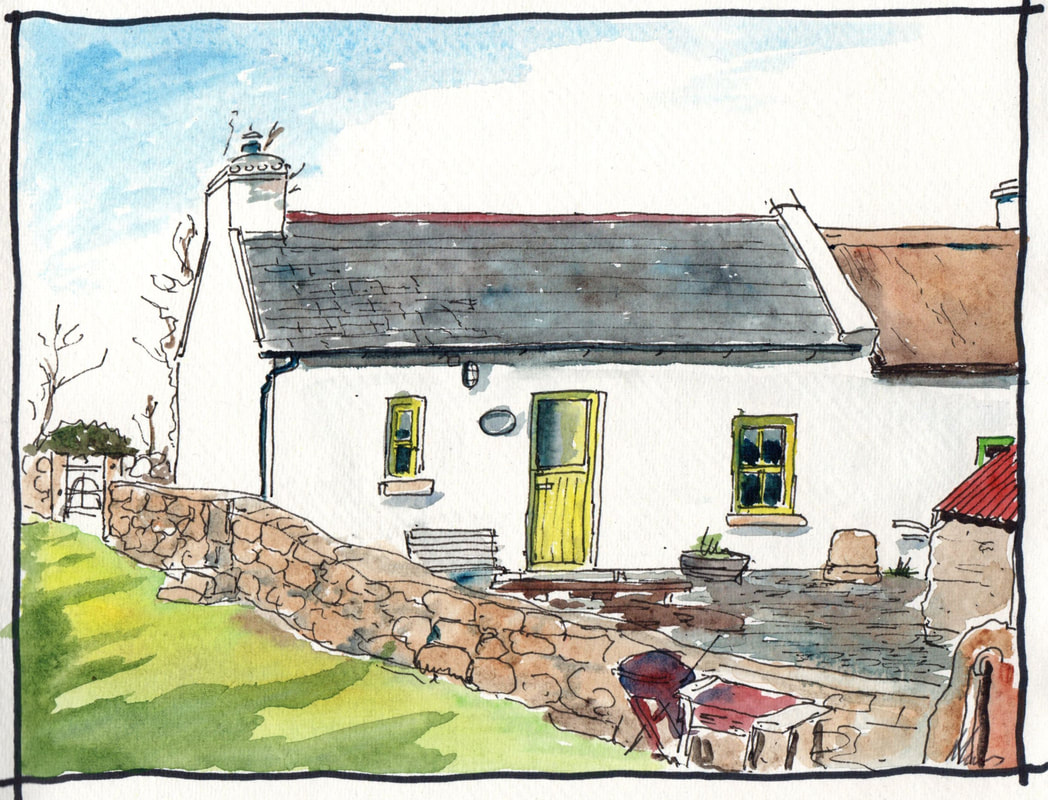
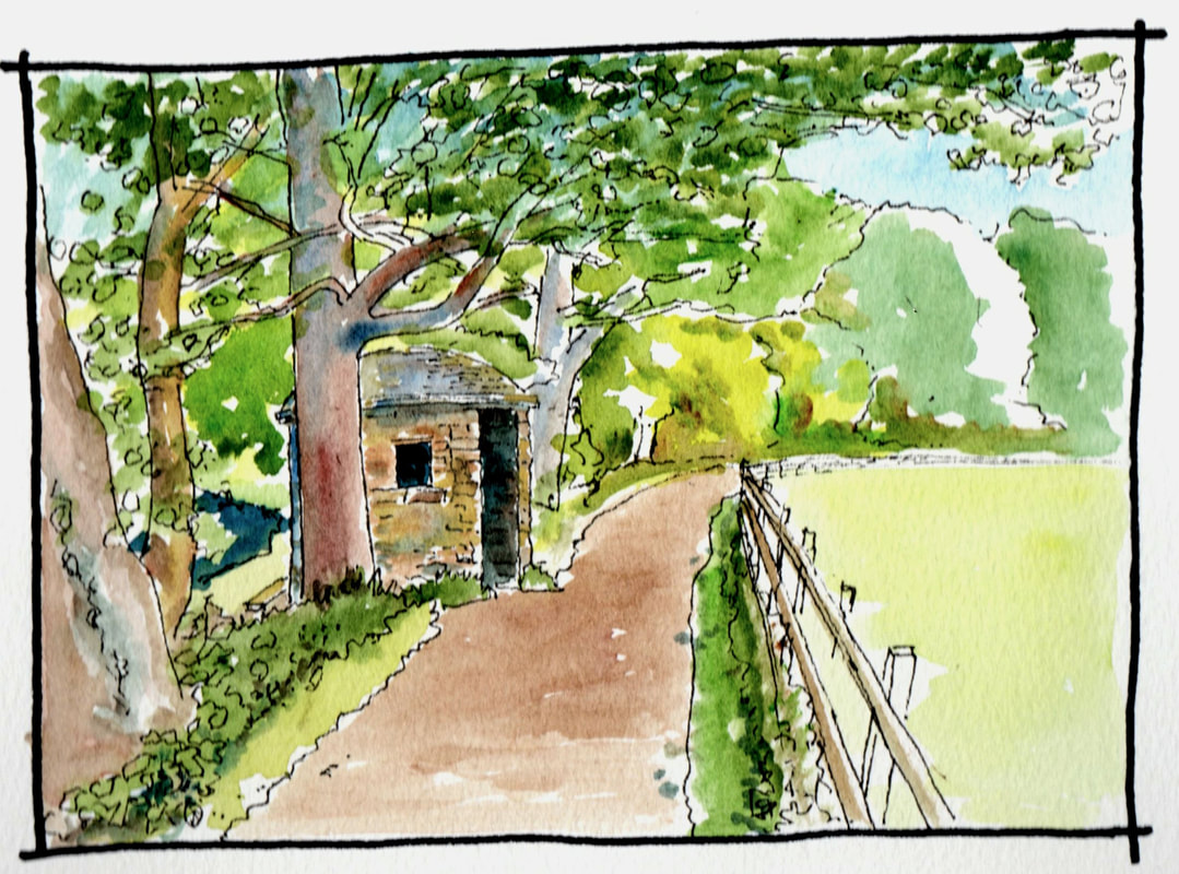
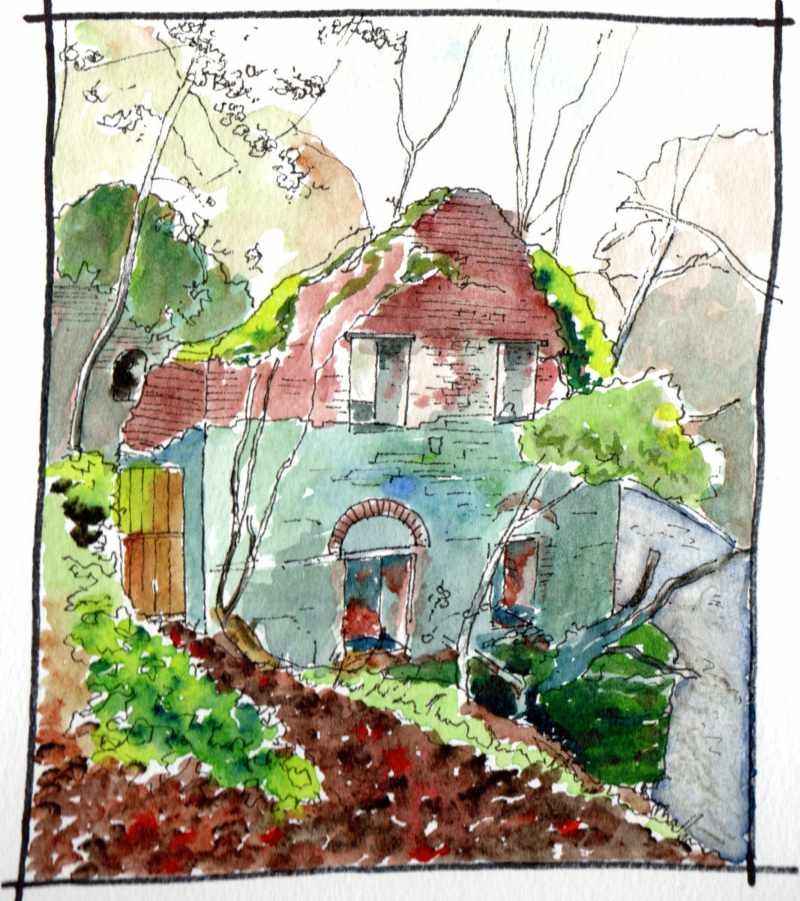
Slight detour. This is Hanna’s Close in Co Down- between the Mournes and the sea. www.mournecountrycottages.com
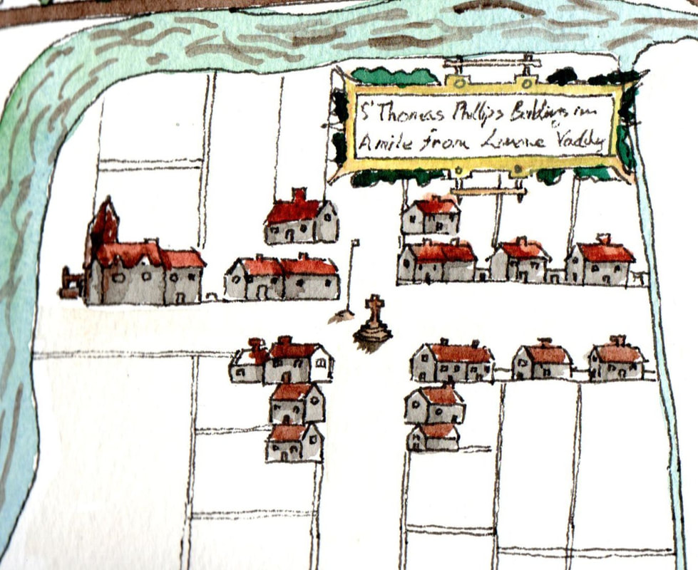
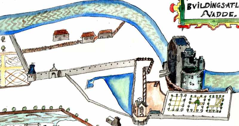
Stayed here over the weekend. Great place full of atmosphere and with a warm welcome. The place is a ‘clachan’ of traditional rural buildings where farmers traditionally cultivated infields and outfields around the settlement. similar settlements would once have been common in the Limavady area but most were lost in the reorgainisation of estates carried out by landlords in the mid nineteenth century. In a few areas such as Drumrickland, Gortnaghy and Coolemonagh this older pattern appears to have been fossilsed by the change to enclosed fields Elsewhere such as at Greysteel and Clagan a single farm now occupies what appears to be such an aragement on the 1830 map.
Stayed here over the weekend. Great place full of atmosphere and with a warm welcome. The place is a ‘clachan’ of traditional rural buildings where farmers traditionally cultivated infields and outfields around the settlement. similar settlements would once have been common in the Limavady area but most were lost in the reorgainisation of estates carried out by landlords in the mid nineteenth century. In a few areas such as Drumrickland, Gortnaghy and Coolemonagh this older pattern appears to have been fossilsed by the change to enclosed fields Elsewhere such as at Greysteel and Clagan a single farm now occupies what appears to be such an aragement on the 1830 map.
 RSS Feed
