|
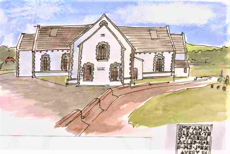
Glendermott Presbyterian church nearby is the oldest roofed building in the Waterside area. A foundation stone in its porch dates the building to 1696 - 'How amiable are thy tabernacles o Lord. Ms John Avery 1696’. The building was originally a single hall or 'barn church' with a pulpit on the long side. It was enlarged in 1748 into a T shaped building and balconies are likely to have been added in the 1830's. The building was renovated in the 1930's and 1960's and has recently undergone works supervised by Knox and Markwell Architects.
0 Comments
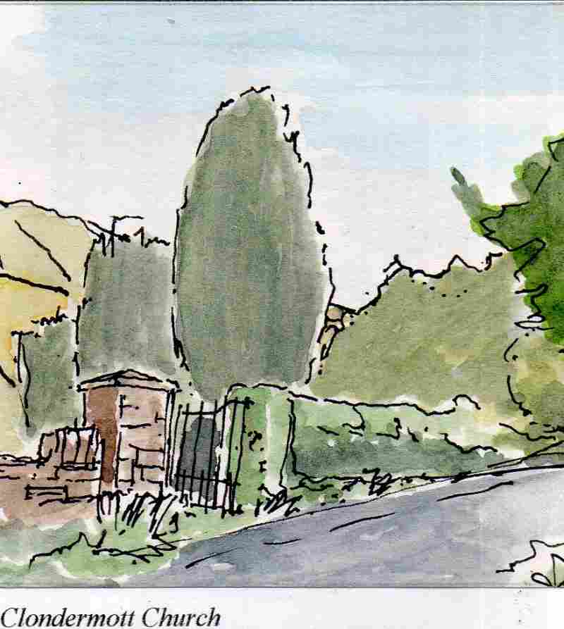
The medieval church in the area was situated further south east on the valley floor (of Glen Dermott). This is known as Clondermott Church and little remans of this apart from some raised ground within the current graveyard. This church was associated with the Clan Dermott, medieval rulers of this area.There is a tradition that it was associated with St Columba. In the graveyard are the tombs of two men closely associated with the Great Seige of Derry in 1689 John Mitchebourne and Adam Murray. After the Ulster Plantation the site passed to the Church of Ireland who the rebuilt the church and used it until the new one was constructed in 1753. During the Comwellian period of the 1650's the minister a Presbyterian form of worship was followed but and with the restoration of the monarchy in 1660 all ministers had to submit to the Episcopailan form of worship or quit. The minister of Glendermott hung on for five years to 1665 but then left with a significant part of the congergation to found Glendermott Presbyterian Congregation.
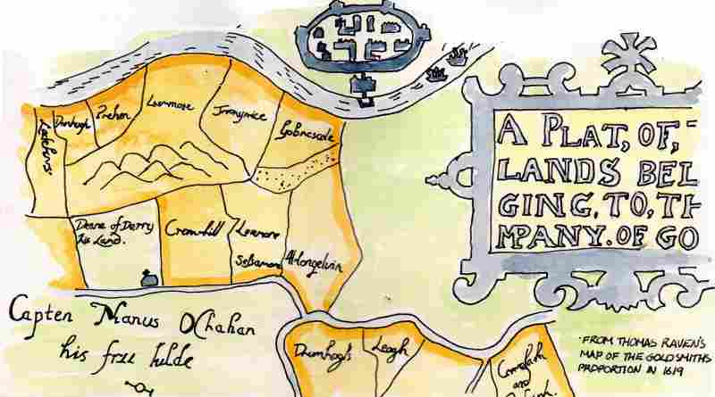
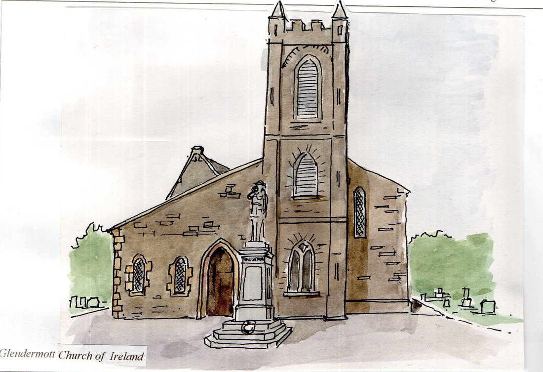
23 years ago I was part of a team (from McCormick Tracey Mullarkey architects) that surveyed in detail the historic buildings of the electoral ward of Altnagelvin on the Waterside of Derry~Londonderry. The centre of the area was the townland of Altnagelvin, part of the lands given to the Goldsmiths Company of London at the time of the Ulster Plantation in the early seventeenth century. One of the first buildings we recorded was Glendermott church, a building perched on a prominent location at the top of a steep hill up from the River Faughan, which had seen many changes over the years. Built in 1753 its tower was added in 1789 and had a spire which blew down in the 1820's. It was doubled in size in 1861 following the 'Great Revival' with a pitched side aisle added. The porch was added in 1989.
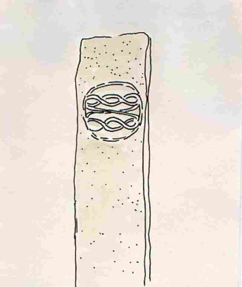
A walk in town this Christmas Saturday. This stone is one of many strategically located around the town and surrounding countryside as part of the Derry Donegal landscape project of 1992. Artist Marco Pogacnik erected these 'like acupuncture pins in the landscape' to restore 'natural balance to a region destroyed by centuries of development'. Each stone has a unique 'cosmogramme' inspired by the surrounding landscape.
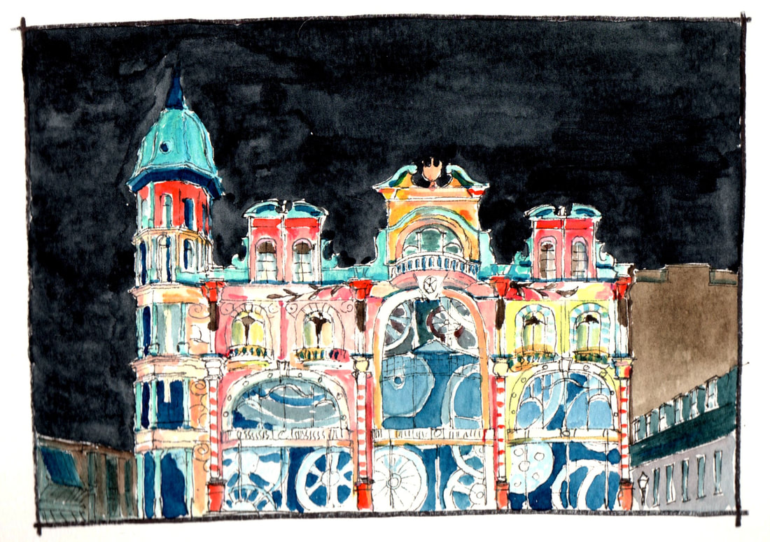
Given some fluorescent watercolours and had a go at drawing Austin’s as lit up for the lumiere festival in 2013. Scanner doesn’t like fluorescents however so you will just have to imagine the bright yellows and oranges
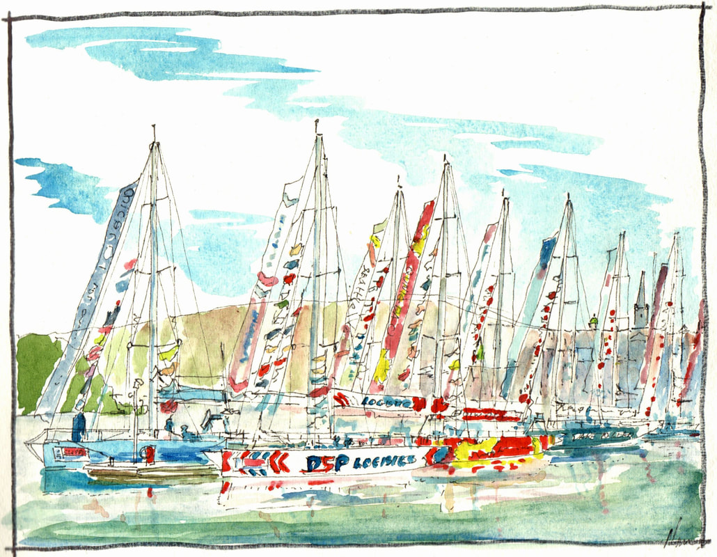
The Clipper Race boats at the historic Foyle riverside this week, animating the river below the city's historic cathedral. A great reminder of the life and atmosphere boats can provide to a river front.
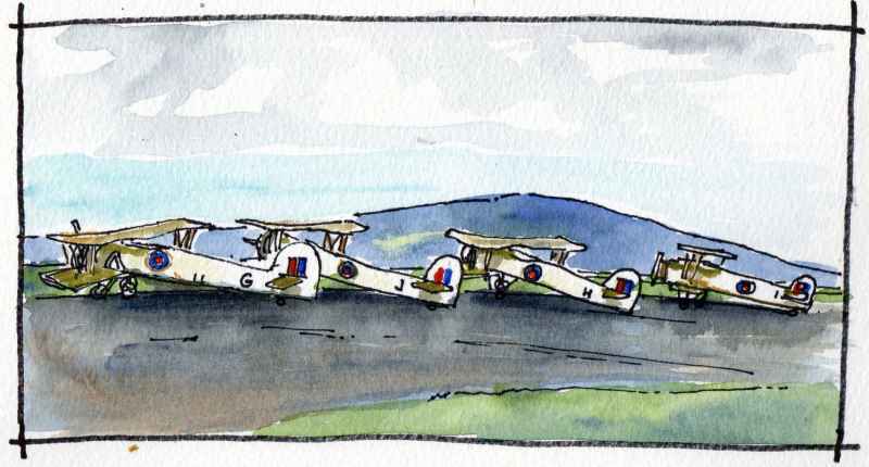
Next on Clooney Road is Maydown Roundabout, to the left is an industrial estate constructed on top of a former military airfield which extends into the nearby Du Pont factory complex. Maydown Airfield operated from 1941 to 1947 and like all of the airfields along this coast, the job of those stationed here was to guard the convoys through the Western Approaches in the Battle of the Atlantic and to destroy hostile enemy ships and submarines. From 1941 to 1942 it was a satelite to nearby R.A.F. Eglinton. It was a USAAF airfield for a period in 1942 transfering to Royal Naval command in 1943, when it became known as RNAS Maydown and HMS Shrike. The drawing above is a copy of a photograph from c1944 when Fairy Swordfish were stationed at the site. A nice mild Lough Foyle day it was too! Today, remnants of the runways can still be seen, though all associated buildings are gone.
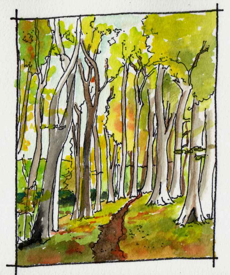
There are two lakes at Enagh and beyond the westernmost is a glade of tall trees. It is one of my favourite places at this time of year. Together, the trees create a tall space of great bueaty. The narrow glade is indicated on the first Ordnance Survey map of 1832. About half a mile away to the right is the location of another medieval church - Dergbruagh Church. Interestingly, the Tower house in the eastern lough, Engah Church, and the site of Dergbruagh all aline. Two churches so close together is also unusual. Best way to get to the glade to soak up the atmosphere is through the grounds of Gransha hospital. Visible from the medieval church, this crannog or artifical island in Enagh Lough is known as ‘Rough Island’ or ‘O’Cahan’s Garden’. Excavation has shown that it is partly a natural island but that it has been modified by humans from the Bronze Age onwards. It was occupied by the O’Cahan’s in the medieval period and, like most, would have had a timber palisade defending timber buildings inside. Behind the island, blending into the trees, is a second crannog - ‘Green Island’ which is now connected to the shore by a causeway. This was the location of an O’Cahan tower house which was occupied until the seventeenth century. Its ruins were demolished in the mid nineteenth century
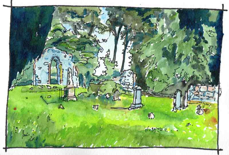
Next left turn leads to Enagh Church. It is a hugely atmosperic place situated between two small ‘loughs’. The date of the current runs are unknown but its east window probably dates to rebuilding in the seventeenth century. It was assocated with the O’Cahans in the middle ages who had a tower house on a nearby Crannog and is is thought to be the site of a much older ecclesiastical centre, which may have been founded by Saint Canice, Bishop of Aghaboe and patron saint of Kiannachta, who died in the sixth century.Other sources suggest Colum Crag or Columba may have founded the church, This church is known to have been one of three that were plundered in 1197 by an Anglo-Norman raiding party.It is thought to have been a monastic site, later converted into a parish church. Why not visit and soak up the atmosphere?
|
Marks of Time
Sketches of buildings in the North West of Ireland and further afield with a little information about their history. Categories
All
Archives
April 2024
|

 RSS Feed
