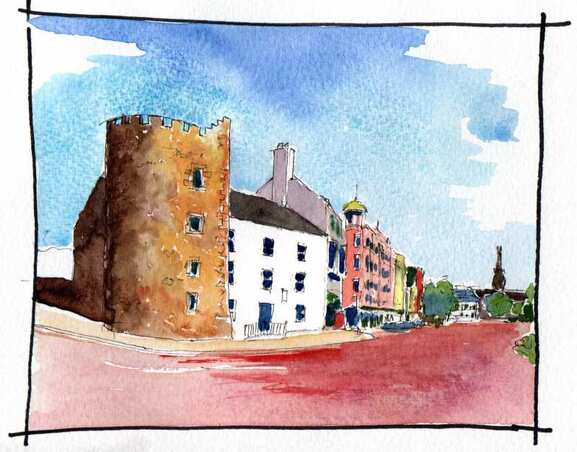
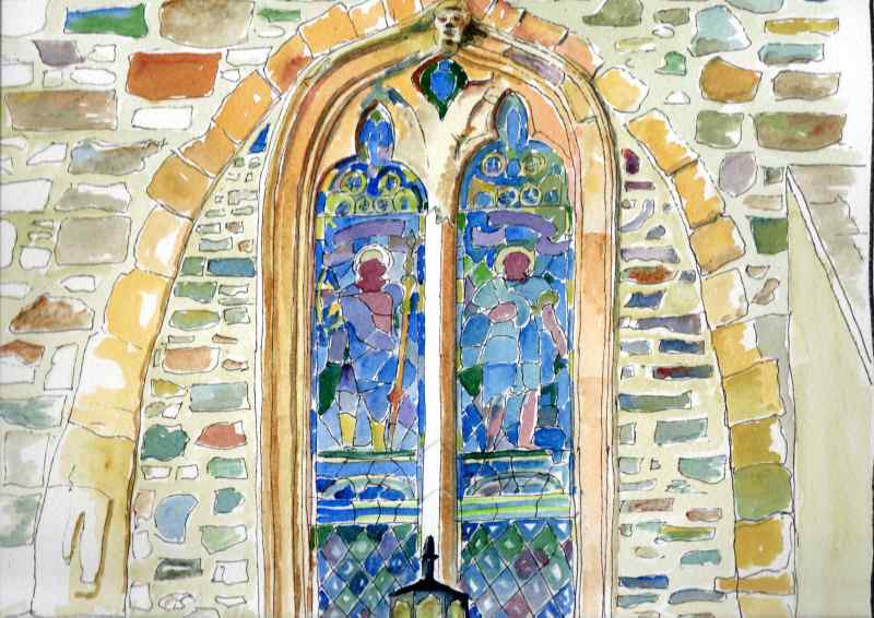
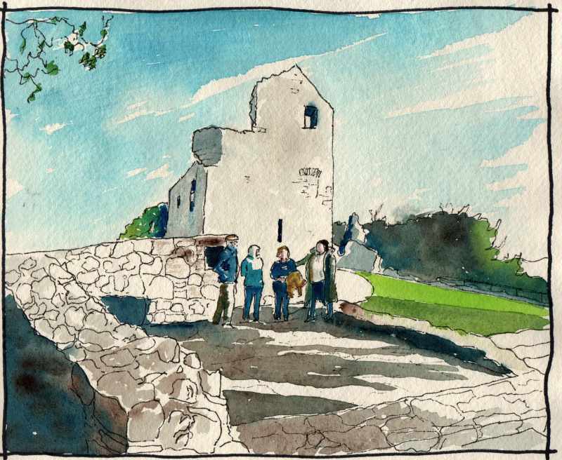
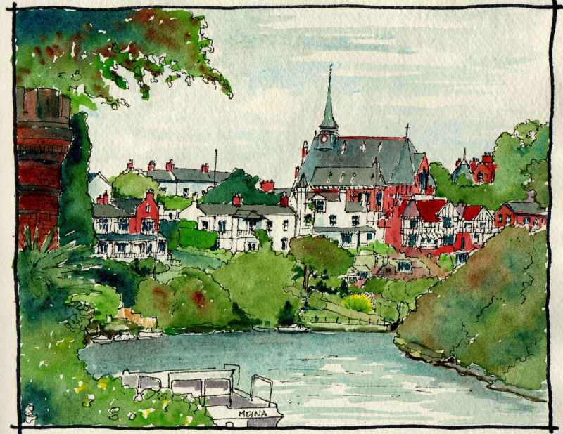
Walk across to Magazine Gate in the distance.
Opposite the Guildhall are the City Walls. These were built between 1613 and 1618 and once bordered on the river or 'Ship Quay'. The walls are earthen with a stone facing over a metre thick and the original construction is below the string course. The monument was raised along this section in the nineteenth century to increase its impressiveness.
Walk across to Magazine Gate in the distance.
0 Comments
Now, to the city centre. Shipquay Place, more commonly referred to as Guildhall Square. Look up at the Guildhall and at the crests high up above the windows. On one side the arms of the city and on the other, the arms of The Honourable the Irish Society. Those of the city have a skeleton sitting beside a castle, supposedly a reference to a Norman knight staved to death at Nortbburg Castle further up the Foyle in 1333. These are understood to be the pre- Plantation coat of arms. Above, are the arms of London affixed in 1613 when the city was rebuilt and became the principal settlement of the City of London in the Ulster Plantation.
The company which managed the plantation In the newly created county and oversaw the rebuilding of Derry, now Londonderry, and Coleraine. was the Honourable the Irish Society. Their coat of arms also incorporates the arms of the City of London and on the other half has the 'red had of Ulster'. This denotes the province in heraldry, but is also the symbol of the O'Neill's until the Plantation heads of the Cenel Eoghan and chieftains of this area. The Guildhall was originally constructed in 1887 in the sparse Venetian Gothic style popular at that time, but it suffered a devastating fire in 1912 and was rebuilt in a much more ornate style of gothic with many references in its architecture and windows to the history of the city. Much of the money for its construction came from the Irish Society and from the 12 London Guilds that had carried out the plantation in the county. Hence the name given to the building. It is well worth the visit to see the interior and this is open to the public along with a free exhibition on the events that led up to the Plantation. At the bottom of the hill, Burt Chapel. Clearly inspired by the form of Grianan, it is a very subtle piece of design and well worth the visit. It was designed by Liam McCormick and opened in 1967. Filled with specially commissioned art its circular interior does not align with the exterior providing space for a sacristy behind the altar. It was voted Irish building of the 20th century in a public poll in 1999.
In 2013, we assembled at Grianan to soak up the atmosphere and watch the sun rise on Midsummer's morning. A choir welcomed in Music City Day as part of the City of Culture celebrations.
The stone fort we see today, is, in fact, one of the latest structures on the site. If you stand on the ramparts you can just make out the remains of the two older earthen rings around the structure. These date from the Iron Age. Enclosed by these is a small well associated with St Patrick. The stone fort was rebuilt by Dr Walter Bernard in the 1870's. At the time only 6ft of the structure remained. it had been a ruin since 1101 when Muircertach O'Brien, king of Munster sacked the place and instructed his soldiers to each remove a stone as they left. This drawing is based upon the Ordnance Survey map of 1830. At the time the rings were more distinct and the route between them of the old road towards Derry could be clearly made out. At the centre of the fort at the time was a 'tumulus' or cairn of stones over a grave like structure. All trace of this is now gone.
Up close it is a dramatic monument. Reached from a small car park at the end of a road that sprials up the hill, it is perfectly circular and open to the public. Made of dry stone construction (no mortar except where repaired) it has terraced levels inside that allow access to its battlements and fine views of the surrounding countryside. To the north in Co Donegal, Inishowen - the island of Owen. To the east, the city and what is now County Londonderry, but originally was part of Tyrone - the land of Owen. To the west and south lies the rest of County Donegal but once known as Tyrconnell - the land of Conal. Owen and Conal were sons of Niall of the Nine Hostages, a mythical hero, and gave their names to the two great competing clans of the area the Cenal Conaill and the Cenal Owen. Command of Aileach reflected which group was dominant. In the later middle ages the Cenal Conaill were led by the O'Donnell family and the Cenel Owen by the O'Neill family. The boundaries of their kingdoms were fixed in the thirteenth century as the boundaries of the Diocese of Derry and the Diocese of Raphoe. Aileach is in the Diocese of Derry.
![]() Its an opportune time to revisit some of the original places highlighted in this blog.If you are thinking of visiting Derry-Londonderry,and want to get a good understanding of the history of the place, you must start in Co Donegal. Grianan of Aileach is visible from many parts of the city and sits like a reminder of the long history of the place. It was the centre of power in ancient times and can be understood as the city's predecessor. The king there was so powerful that he drove off the vikings in the Ninth Century, unlike his counterparts in Dublin, Limerick, Wexford and Cork.
Happy New Year all. 10 years this year since the City of Culture and the original Marks of Time exhibition. Thanks to all who supported and visited at the time and who have followed the journey since.
Kilnasaggart Pillar Stone
A wonderful and unique monument, almost two metres tall, in the corner of a field near the border of Co Armagh and Co Louth. It has 10 crosses on one face and three, plus a long Gaelic inscription, on the other: 'This place, bequeathed by Temoc, son of Ceran Bic, under the patronage of Peter, the Apostle'. Ternohc’s death is recorded in the Annals at 714 or 716 and so the pillar is thought to date to around 700. It is thought to be the earliest historically dated inscribed stone in Ireland. Though now alone, excavations in the 1960's revealed christian graves aligned east west around its base. A church was indicated nearby on a map of 1609 but this was not discovered in the excavation. The pillar stands near the ancient route through the "Gap of the North" from Meath to Ulster on one of ancient Ireland's five great roads: the 'Slghe Midhlachra'. Edward Bruce is said to have slept at "Kilsagart" in his campaign of the early Fourteenth Century. Today, the pillar is preserved as a Monument in State Care. A dramatic and spiky gothic building which once stood to the west of the surviving Church of the Immaculate Conception creating a great composition of spires when seen from a distance. it was at once remote and removed from the town, yet an important part of it. This view is of the school's main facade with its carefully tended gardens in front. The main convent accommodation was to the right of the bell tower and the convent chapel with a separate bell tower was beside this. On the other side of the bell tower was a long perpendicular block which originally housed an orphanage and industrial school and from 1928 the Grammar School a prepatory school and accommodation for boarders. The convent opened on opened June 9th 1868 and the the church was consecrated in 1881. The school closed in 2007 and the buildings were completely demolished in 2009. The stained glass of the church was removed to St Patrick's church in Castlederg in 1995. A dramatic skyline lost.
|
Marks of Time
Sketches of buildings in the North West of Ireland and further afield with a little information about their history. Categories
All
Archives
April 2023
|