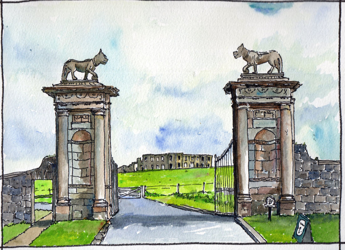
The Lion's Gate was the first gate to the Earl Bishop's Estate at Downhill and its still its most dramatic. It was constructed c.1780. On the cornice are a pair of leopards/lynxes , more properly referred to in heraldry as ‘ounces’. The creatures resemble the leopard-like animals on the Bishop's coat of arms and were added c1787. The house beyond was largely constructed between 1772 and 1790 and held the Bishops extensive collection from his tours accross Europe. It was severely damaged by fire in 1851 but restored afterwards. Vacant by the 1930's it was requestioned by the Army during WWII and owners afterwards saught to have the building demolished to avoid a large rates bill. In 1949 the roof was taken off and the building gutted. It was aquired by the National Trust in 1980.
|
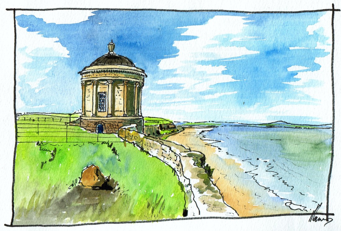
The Mussenden Temple - an iconic image of the Causeway Costal Route, was begun in 1783 and completed in 1785. The architect was Michael Shanahan for the Earl Bishop. The temple was built as a library for the Bishop where he could read his collection while admiring the ravages of nature outside. Over the years the cliff below has eroded back. Significant stabilising work was carried out by the National Trust about 10 years ago. The building was dedicated to the bishop's cousin Mrs Frideswide Mussenden who at died the age of 22.
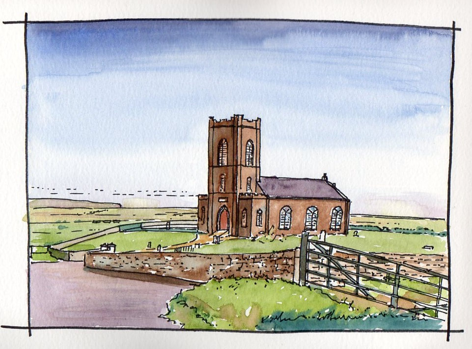
St Cadan's Church of Ireland on the Duncrun Road overlooking Magilligan. Built in 1784 by Lord Bristol (The Earl Bishop) to replace the old church of Tamlaghtard, 'it being in a decayed condition'. Located in a fantastic site, windows along one side (to the view) are blank. Nearby was a medieval monastery with a round tower. Today nothing remains but a cross slab in a corner of a field.
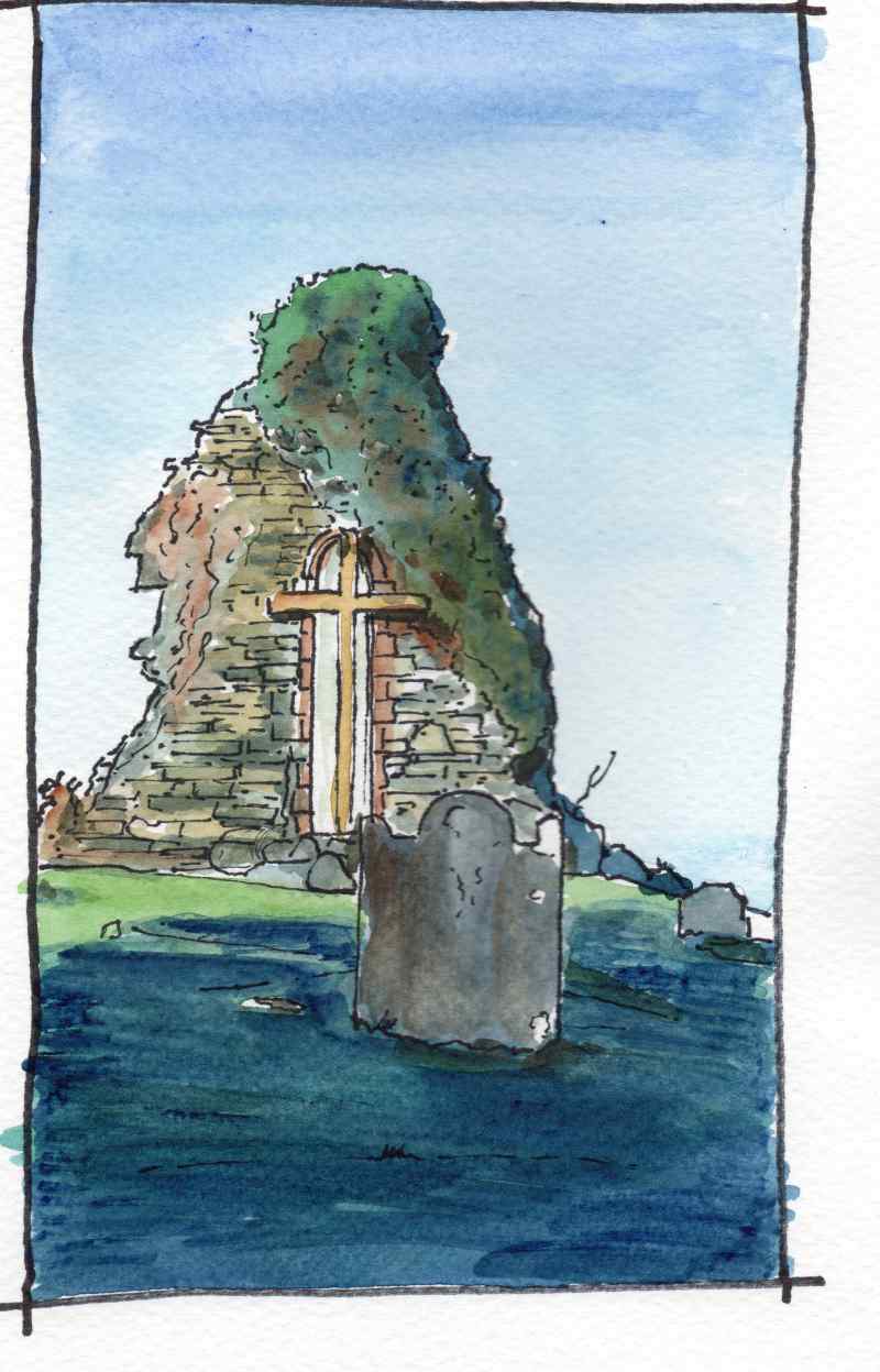
St Aidan's Church Magilligan, is located further along the Duncrun Road. Like most medieval churches a comandiing position was selected and it has fine views of Lough Foyle below. The structure dates from the early medieval period and is said to have been founded by St Patrick. The single lancet window, in the east wall is thoight to be 13th century. A mortuary house in front of the gable has been traditionally understood to be the grave of St.Cadan, the patron of the church. The ruin is of the medieval parish church, repaired in 1622 & in use until the C18th when the Earl Bishop gave it to the Roman Catholic congregation on the completion of the new Church of Ireland. A pre-emancipation Catolic Church is constructed nearby.
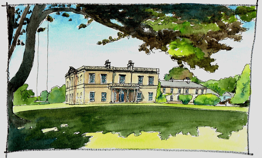
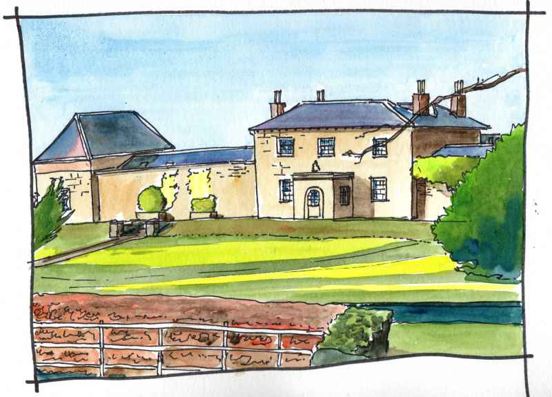
Drenagh House near Limavady is a very elegant stately home set within a large demesne. Historic home of the McCausland family. Robert McCausland was agent of William Conolly who purchased the Limavady Estate from the Phillip’s family. Conolly, at one time Speaker of the Irish Parliament, acquired his riches buying and selling estates. McCausland erected the first house several hundred yards south east of this building in the 1730s. This was demolished to make way for the present house designed by the eminent architect Charles Lanyon in the 1830′s. The building comands its surrounding landscape
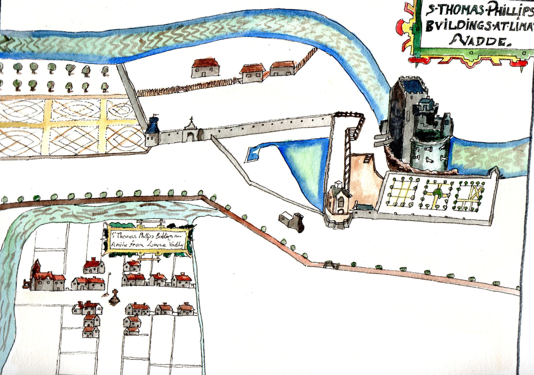
This is a copy of the first map of Limavady from 1622. It was a new Ulster Plantation settlement replacing the former town a mile away around the old O’Cahan Castle within what is now the Roe Valley Country Park. Originally known as Newtown Limavady, the settlement had a cruciform layout with a market cross at the centre and was enclosed on two sides, as today, by the River Roe. The building nearest the river appears to have a projecting sign which has been taken by most comentators to be the representation of an Inn..
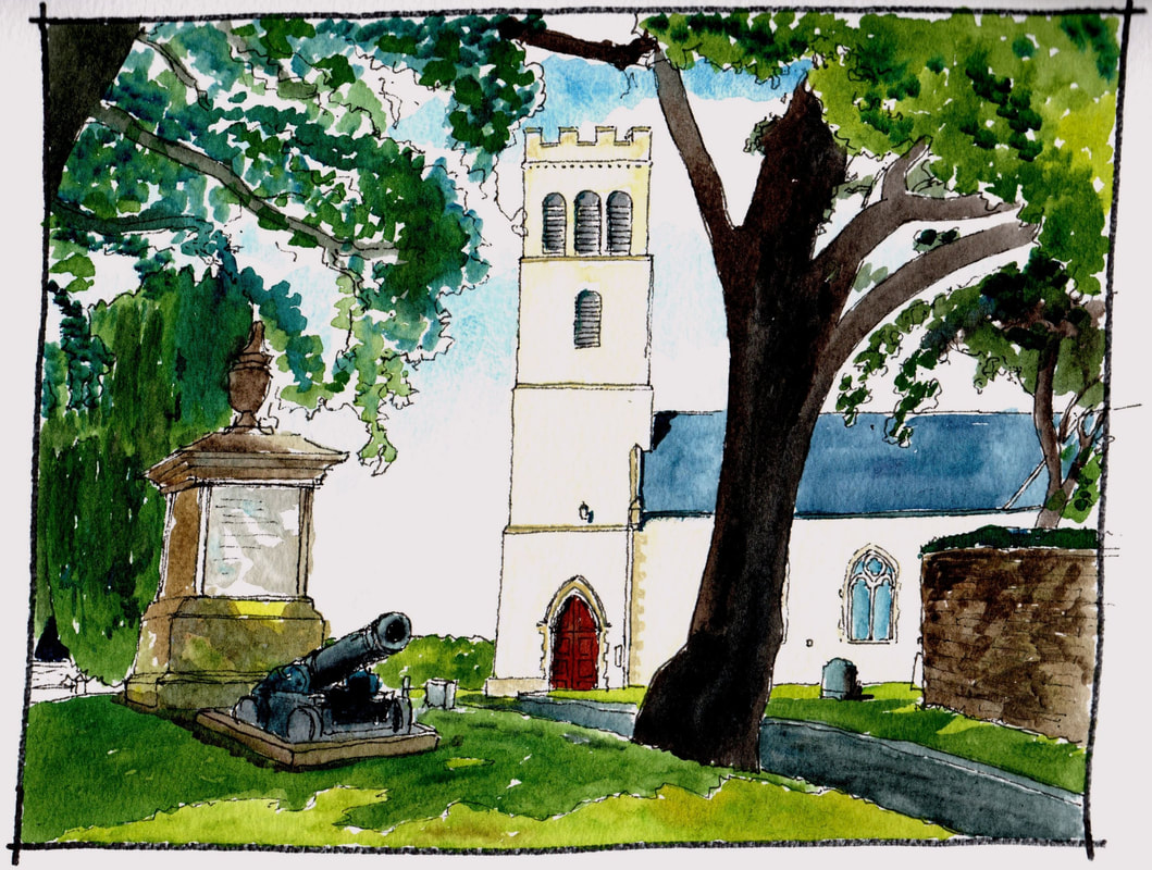
At the entrance to Limavady Main Street, within a garden well back from the building line, is Christ Church. This modest looking building is quite decorative inside and well worth a visit. A church is recorded here from the late seventeenth century and the present building was constructed in 1750. The tower was added in 1765. It is a haven of calm away from the main street. In recent years a new bypass has revealed a dramatic view of the building from the opposite side. From there it is revealed as located on a high platform comanding the plain beyond.
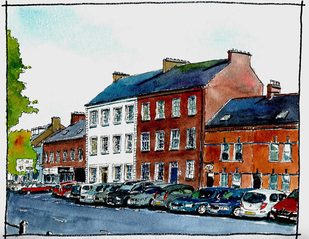
Limivady Main Street has a number of tall brick houses in the Georgian Style. These are thought to date from the late eighteenth century. A number of those to the western side of the street, such as the Alexander Arms, have double pile roofs, that is, is a central gutter joining two pitched roofs. These were probably built earlier in the century. The two shown here have a single pile roof enclosing a longer span and are probably from later in the century. Brick making was once a major local industry with ‘brick fields’ noted in many locations on the 1830 map. The effect of these buildings was to create an elegant space which was remarked upon by travellers. This effect was complemeted by trees planted at regular intervals
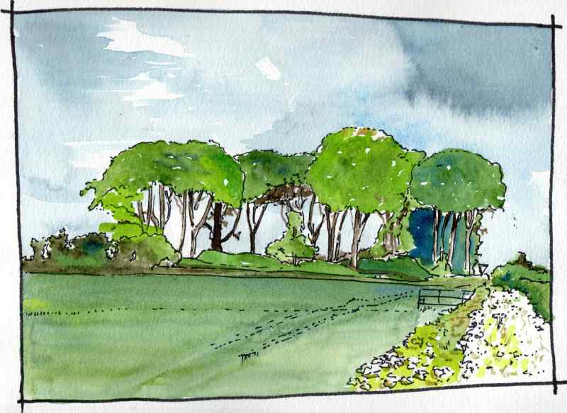
Rough Fort sits adjacent to the original line of Clooney Road on the outskirts of Limavady. It is a well preserved circular earthwork known as a rath with an outer ditch and central flat area. When in use this would have contained dwellings and cattle with the ditch probably surmounted by a timber palisade fence. Such structures are very common accross Ireland and can date from earliest times. Often such features were planted with trees in the early nineteenth century to increase their prominence as a feature in the landscape. This was the case at here and at the crest of a small hill it is a very visible feature. The rath is in the ownership of the National Trust. It was its first aquisition in Northern Ireland donated in 1937 by local landlord, Marcus McCausland, also Chairman of the Northern Ireland Committee of the Trust at that time.
On to the village of Ballykelly. This is also an Ulster Plantation settlement. This was created as the principal settlement of the Fishmongers Company’s ‘proportion’. The original 1610 settlement was closer to Lough Foyle than the present main street of the village (which is part of Clooney Road) and located perpendicular. Like in the nearby village of Eglinton the lease for the ‘proportion’ in which this village is situated reverted to the London company of the Fishmongers on the death of King George III in 1820. They also set about a vigorus campaign to improve and beautify their village in the mid nineteenth century. This building was one result. Now a private hospital with modern buildings to the rear, it was built as a model farm by the Fismonger’s Company in 1823 with wings to each side opeing to the farmyard behind and maintaining a formal facade to the road.
|
|
