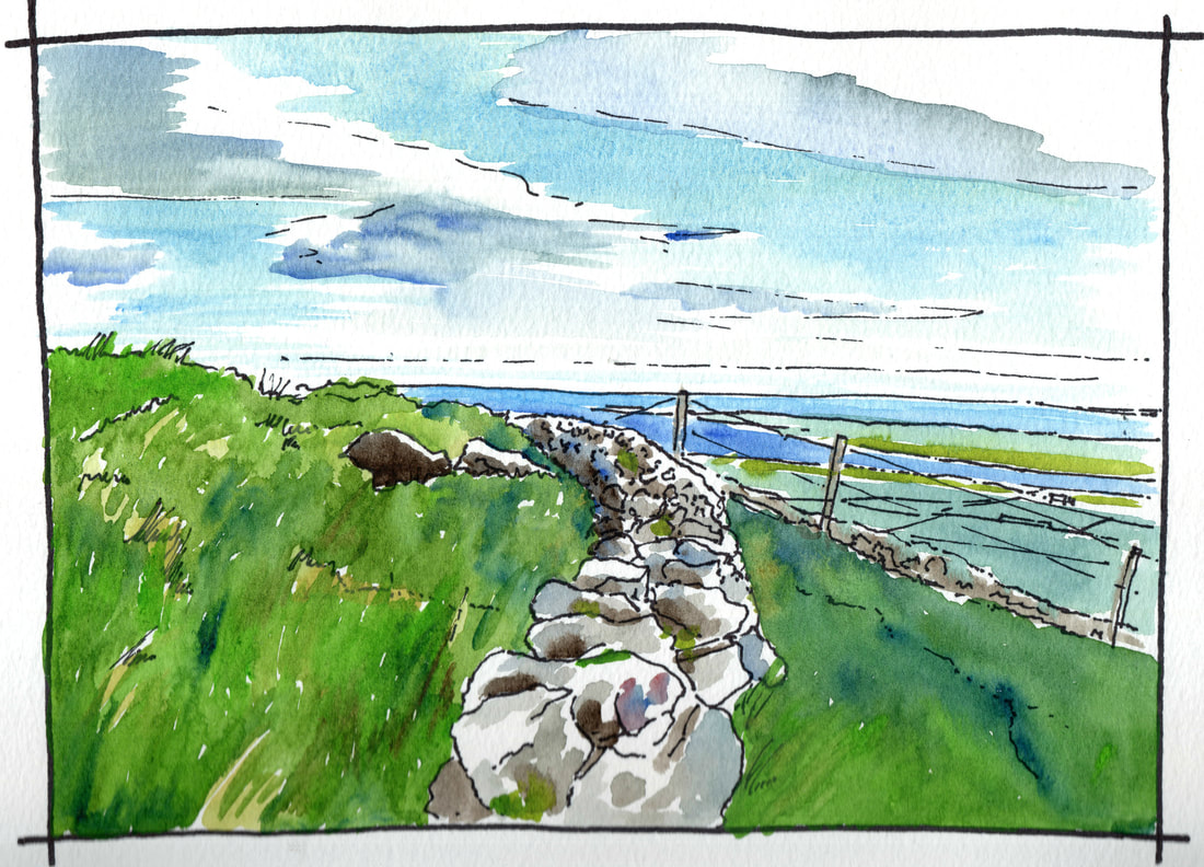
The coast road north from Belfast along the Co Antrim coast is a spectacular drive. It was a major engineering triumph when laid out in the nineteenth century connecting the Glens of Antrim together for the first time. This area is well worth a detailed visit and these drawings only give a small taste of what you can find here.
|
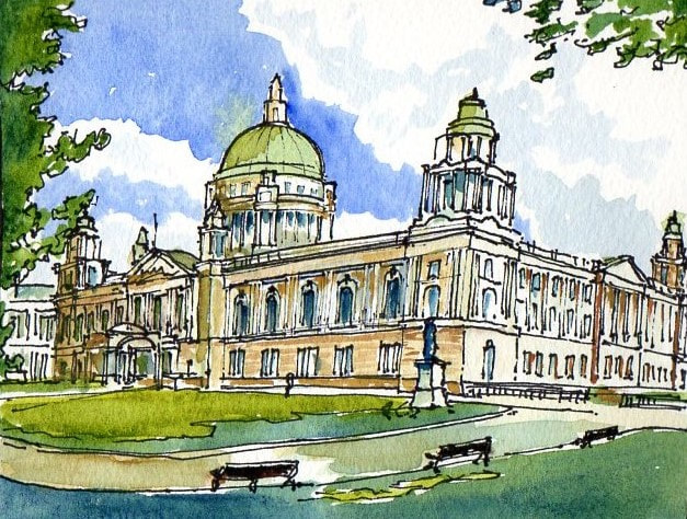
Lets start at City Hall constructed between 1896 and 1906. This is a highly decorative classical building built in the Edwardian reriod and is reflective of the prosperity of the city at that time. Used as an inspiration for the similar Cape Town City Hall it was a consiously Imperial building surounded by statues of citizens some of which had made a significant contribution to the Empire. The hall was used as the seat of the Northern Ireland Parliament prior to the erection of the Parliament Buildings at Stormont in the 1920's and it received a direct hit during the Belfast Blitz in 1941. It was later repaired to the original specification. Closed to the public during the Troubles it reopened to tours in 1991 and today houses many civic events and a very nice cafe.
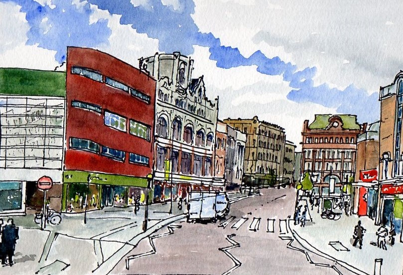
Castle Place, Belfast. The location of the medieval castle, later enhanced by Sir Arthur Chichester in the Seventeenth Century and surrounded by a large garden, was in the plot now occupied by the buildings on the left side of this drawing. Bank buildings terminating this view was recently gutted by fire. It is a key building in the city and the civic authorities appear to be working hard to ensure it is retained.
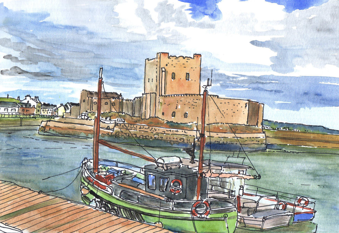
Carrickfergus on Belfast Lough is dominated by its castle, but like Derry~Londonderry it also retains its town walls which are also worth a visit.
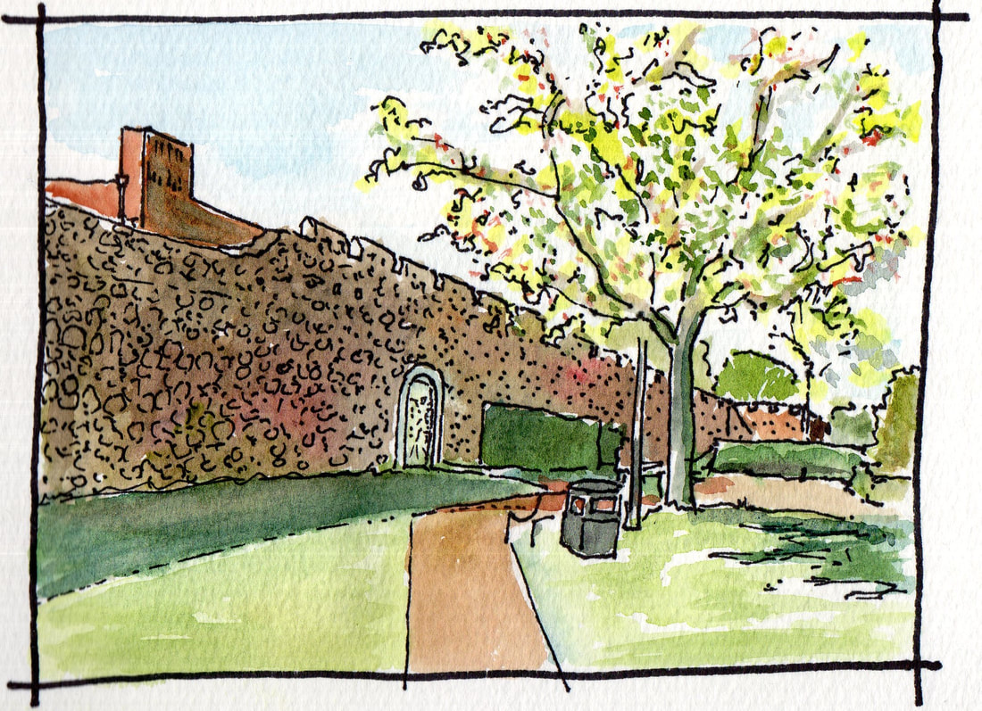
The Castle juts out into the Lough on a rocky promontory now cut off from the town by the Marine Highway but originally linked to its defences.. It was commenced soon after the Norman invasion of Ulster in 1177 and remained in military use until the 1920’s. It protects a secure harbour and the adjacent town and as, a key strategic location on the north east of Ulster, it has experienced many dramatic events since first constructed. Carrickfergus Town Walls at Joymount. These were built between 1608 and 1615 and can still be traced for a significant part of their circuit. This is the best preserved stretch to the north west of the town near the location of the former great Elizabethan House of ‘Joymount’
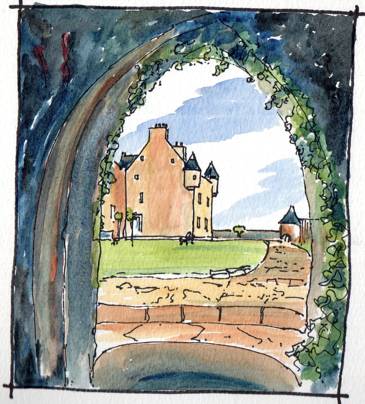
Further north along the coast road is Ballygally Castle. Now a hotel, this was constructed by James Shaw of Greenock in 1625 and is a tower house in the Sottish Style with projecting bartizans at roof level. The feature which identifies it as an Ulster building is the enclosing bawn wall with corner towers or flankers typical of the defences built around strong houses during the Ulster Plantation.
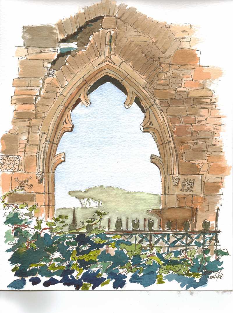
Bonamargy Friary further along the coast road at Ballycastle is thought to date from around 1500. The remains of its east window shows that it once contained refined gothic tracery in the Decorated Style. It is now a monument in state care and a picturesque ruin.
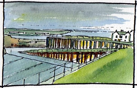
The Giant's Causeway Visitor Centre was the result of an international architectural competition held in 2005. Won by Heneghan Peng Architects, it opened in 2012. Bassalt columns appear to lift up the landscape to enclose the visitor facilities. It is a confident yet subtle building. Well worth a visit.
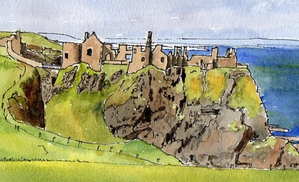
Dunluce Castle to the west of Bushmills is thought to date from the Fourteenth Century, (though some accounts suggest that it may have been a Norman foundation,) it was associated with the MacQuillans and later the MacDonnells who controlled land in both Antrim and Scotland in the Sixteenth Century. On the landward side was a plantation settlement built by the MacDonnells and extensive archaeolgical research has been underway here over recent years.
A detour, but well worth it, the Giant's Sconce is located near to the Windyhill Road that connects Coleraine with Limavady. Like the better preserved Grianan of Aileach this was an important fort built to command the surrounding landscape, And command it still does. From here there are extensive views accross the Antrim Plateau almost all the way to Belfast. The only hill is Slemish Mountan near Ballymena far in the distance. The site was the location between the Uliad - the men of Ulster - and the Ciannachta based in the Roe Valley behind the fort in 681AD. Not an awful lot appear to have changed in the landscape from here in the intervening period - perhaps a few less trees.
|
|
