
Grianan of Aileach
|
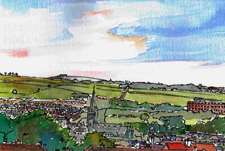
Any visit to Derry should start at Grianan. Located some two miles west of the city in County Donegal, it is both the predecessor of the modern settlement and a great viewpoint to understand its geography and setting. Visible across the city , it is like an ever present reminder of the long history of the area and its importance.
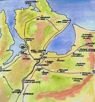
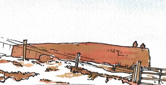
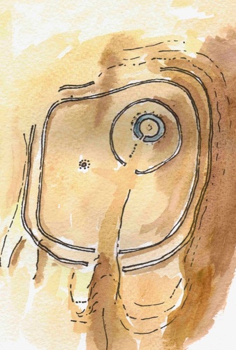
From the battlements you can see Lough Foyle to the north east and Lough Swilly to the north west. Between the two lies Inishowen – 'the island of Owen', to the east the land, now known as County Londonderry, was once part of Tyrone- 'the land of Owen', to the west, in County Donegal, the land is known as Tyrconnell,- 'the land of Conaill'. From the 6th to the 8th centuries Grianan was contested between the Cenel Conaill – the descendants of Conaill and the Cenel Eoghain - the descendants of Owen. By 789 the Cenel Eoghain had gained control. Because Owen and Conaill were the sons of the legendary 'Niall of the Nine Hostages’ they formed a kin group known as the Northern Ui Neill. Grianan was the symbol of the dynasty. As a structure, Grianan is a ‘cashel’ ie a stone ring fort. There are many examples of the type along the west coast of Ireland but this is one of the best. The stone fort is in fact a product of the last period of development at the site, and if you stand on the battlements you can just about make out the two great lines of earthen embankments which encircle the place and formed its original defences. |
|
|
