
Doire Colmkille
|
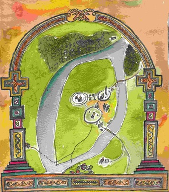
Three miles to the east of Grianan, the monastic settlement of Doire Colmkille was thriving by 1100. Reputedly founded by St Columba in the Fifth Century, no maps exist of the settlement before 1600. This drawing is a suggestion of what it might have looked like in 1100. The monastery was located on the west side of the hill. A round tower was located further to the north and three holy wells between these at the base of the hill. The sacred oak grove which gave the city its name – Doire- was located nearby.
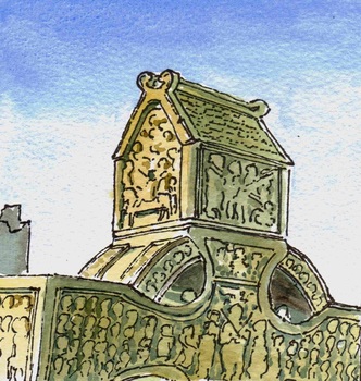
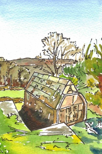
The form of the monastery before 1000 would have been similar to that established elsewhere in Ireland, with a focus on a wooden church placed within a circular palisade enclosure or ‘rath’. By their nature such buildings are not durable but representations can be found in the form of reliquaries and very often at the top of later high crosses. None directly linked to this monastery appear to survive however and the illustration is an example from Monasterboyce in Co Meath. With time, such buildings became replaced with stone ones which copied the form of their predecessors. These displayed projecting stone columns (antae) and roofs at each corner and often ‘winged finials’ at ends of the ridge mirroring the form of crossed timbers. Entrances had flat heads with angled sides (jambs). Good examples of such churches no longer survive in the local area but small buildings in the form do survive as mausolea for founding saints at both Banager and Bovevagh. |
|
|
