A trip north east following the Clooney Road from Derry~Londonderry to Limavady.
|
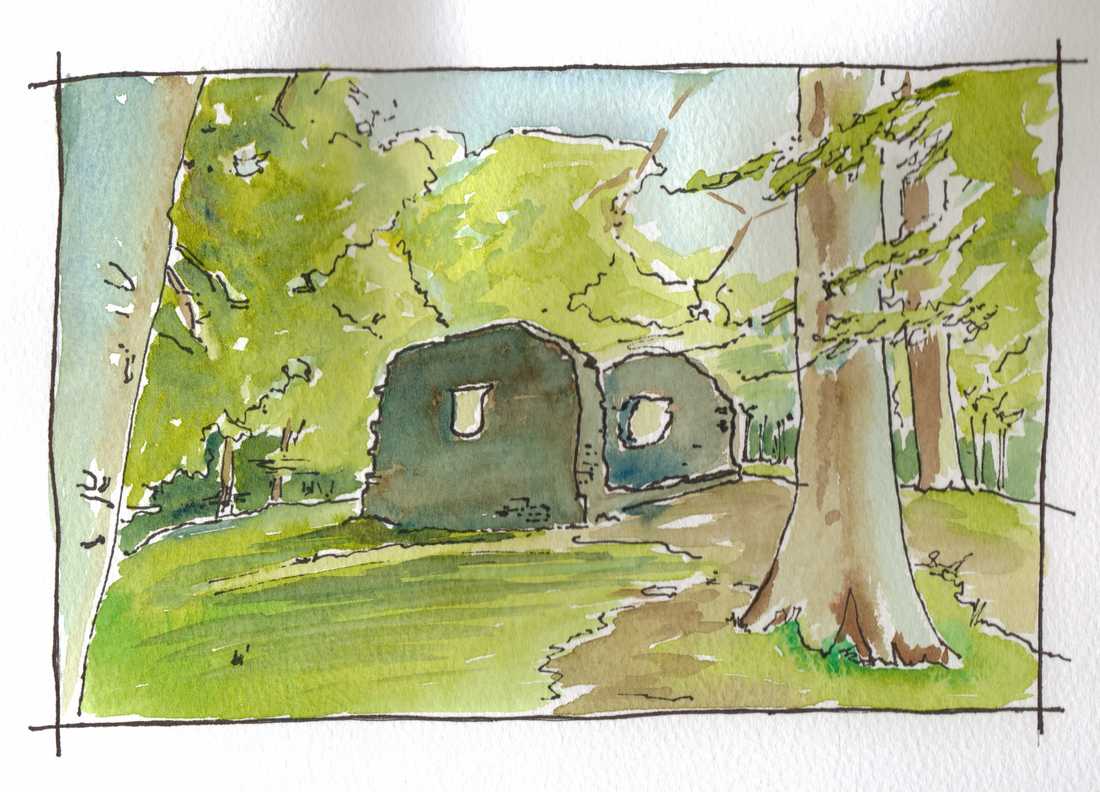
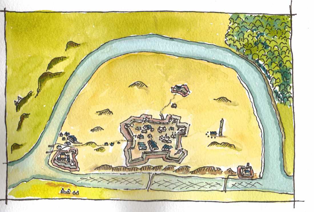
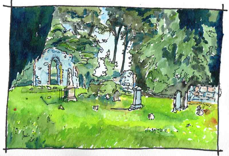
Lets start at Clooney church. Located in the grounds of St Columb’s Park in the Waterside area of Derry~Londonderry not far from the Limavady Road (which is renamed Clooney Road as it leaves the city). The church today looks much as drawn on the first map of the city drafted by the invading English in 1600. It is ruinous, on top of a small hill and retains its gables. In fact, the building was rebuilt in the 1620′s and has since fallen into ruin again. It is thought to have been previously rebuilt in the 1580′s following the demolition of the previous church in the 1480′s by the local Bishop. The building is recorded as having been plundered by the Normans in the 1190′s and is thought to be the site of the ancient church of ‘Cluain-i’. It is associated with St Brecan -an early Irish saint thought to be from Movilla in Co Down with a feast day of 16 July. In the nineteenth century it became an eye catcher within the landscaped grounds of a merchant’s house and today is located within a civic park. It is an atmospheric place, timeless in its bueaty.
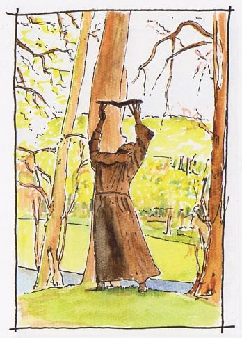
Within sight of St Brecan’s church is this fine statue. Set within a circle of mature trees it is part of a heritage trail linking major ecclesiatical sites within the city. The statue is of St Columba ‘dove of the church’ and reputed founder of the city. He is reaching up to touch a dove with his fingers,- the symbol of peace in a very peacefull and atmosperic place- but it is also like he is passing on the great history and heritage of the city to a new generation to make their own. Worth a visit
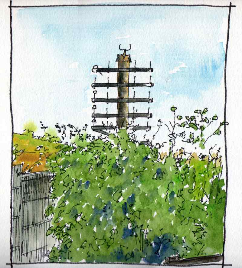
At the bottom of the park along the riverside is the Waterside Greenway, This links the park to the Peace Bridge and the Foyle Bridge along the recently modernised railway track. At one point the path swings away from the railway and amid an area of dense vegetation is a reminder of its history - a former telegraph pole along the trackside which once supported 26 separate wires! Prior to the second world war electrical wires had to be insulated using natural material such as rubber which degraded over time, and it was more economical to suspend telephone and telegraph wires from glass or ceramic insulators on the lineside telegraph poles. Spare capacity was often rented to the Post Office for its telephone network. The railway was opened as the Belfast and Northern Counties Railway in 1860 though the telegraph poles would not have been erected before the 1890′s.
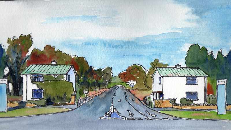
Heading north east along the Clooney Road you will pass these two buildings. These are the gate lodges to Gransha Mental Hospital. Constructed in the 1960′s, they have copper roofs and off centre windows symetrical about the entrance road. To the front a low wall of Claudy stone raised to a higher level as it meets the road. Beyond, iquite far away in landscaped grounds, stood Stradreagh House the Victorian building used as the Asylum. Various other buildings dating to the 1930′s and later were built in between. It is a simple but elegant architectural composition beside the main road.
Next left turn leads to Enagh Church. It is a hugely atmosperic place situated between two small ‘loughs’. The date of the current runs are unknown but its east window probably dates to rebuilding in the seventeenth century. It was assocated with the O’Cahans in the middle ages who had a tower house on a nearby Crannog and is is thought to be the site of a much older ecclesiastical centre, which may have been founded by Saint Canice, Bishop of Aghaboe and patron saint of Kiannachta, who died in the sixth century.Other sources suggest Colum Crag or Columba may have founded the church, This church is known to have been one of three that were plundered in 1197 by an Anglo-Norman raiding party.It is thought to have been a monastic site, later converted into a parish church. Why not visit and soak up the atmosphere?
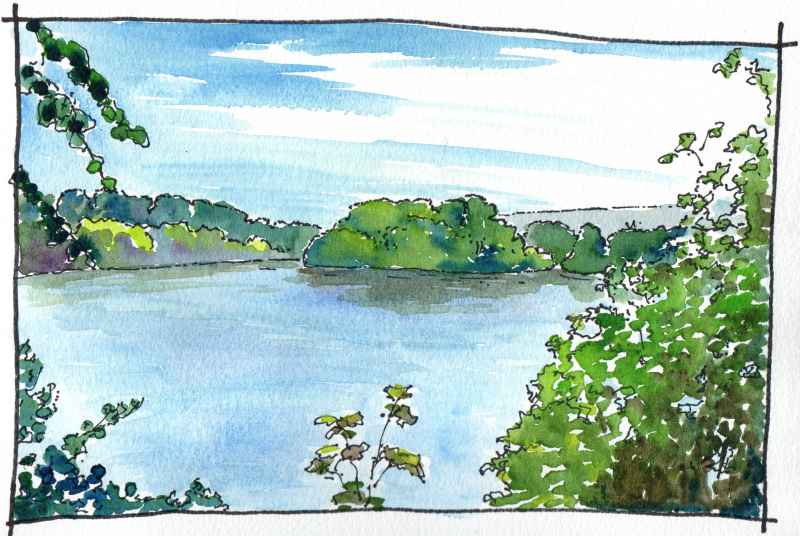
Visible from the medieval church, this crannog or artifical island in Enagh Lough is known as ‘Rough Island’ or ‘O’Cahan’s Garden’. Excavation has shown that it is partly a natural island but that it has been modified by humans from the Bronze Age onwards. It was occupied by the O’Cahan’s in the medieval period and, like most, would have had a timber palisade defending timber buildings inside. Behind the island, blending into the trees, is a second crannog - ‘Green Island’ which is now connected to the shore by a causeway. This was the location of an O’Cahan tower house which was occupied until the seventeenth century. Its ruins were demolished in the mid nineteenth century
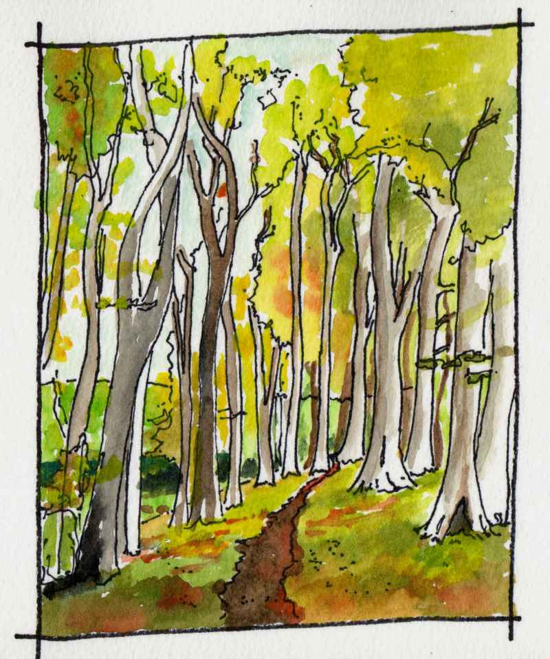
There are two lakes at Enagh and beyond the westernmost is a glade of tall trees. It is one of my favourite places at this time of year. Together, the trees create a tall space of great bueaty. The narrow glade is indicated on the first Ordnance Survey map of 1832. About half a mile away to the right is the location of another medieval church - Dergbruagh Church. Interestingly, the Tower house in the eastern lough, Engah Church, and the site of Dergbruagh all aline. Two churches so close together is also unusual. Best way to get to the glade to soak up the atmosphere is through the grounds of Gransha hospital.
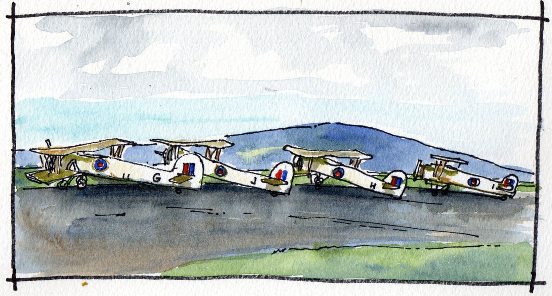
Next on Clooney Road is Maydown Roundabout, to the left is an industrial estate constructed on top of a former military airfield which extends into the nearby Du Pont factory complex. Maydown Airfield operated from 1941 to 1947 and like all of the airfields along this coast, the job of those stationed here was to guard the convoys through the Western Approaches in the Battle of the Atlantic and to destroy hostile enemy ships and submarines. From 1941 to 1942 it was a satelite to nearby R.A.F. Eglinton. It was a USAAF airfield for a period in 1942 transfering to Royal Naval command in 1943, when it became known as RNAS Maydown and HMS Shrike. The drawing above is a copy of a photograph from c1944 when Fairy Swordfish were stationed at the site. A nice mild Lough Foyle day it was too! Today, remnants of the runways can still be seen, though all associated buildings are gone.
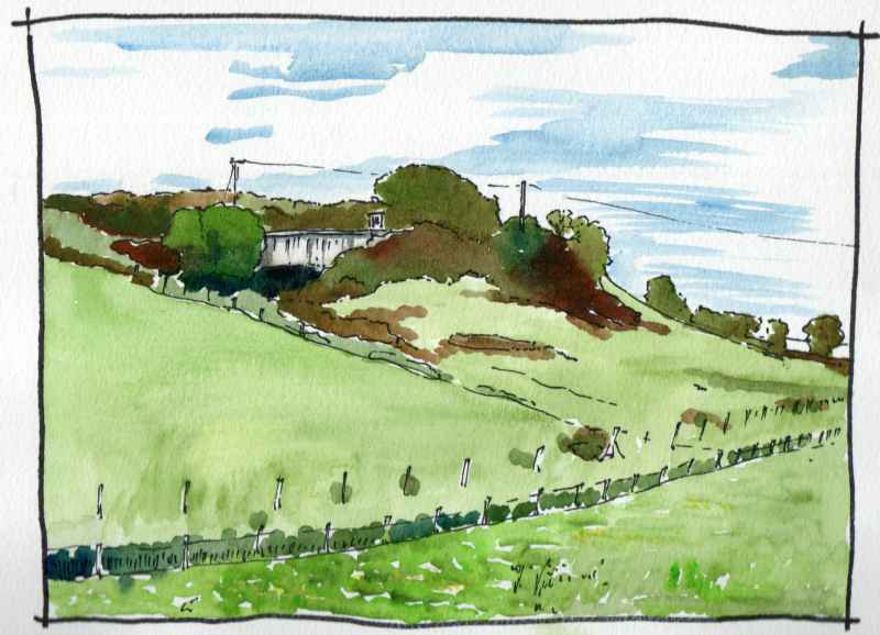
Further along Clooney Road opposite the turn off to Campsie Industrial Estate is this unusual structure half embedded in the hillside. This is also a remnant of the Second World War. It is an operations room for anit aircraft operational comand in the area. Built between 1941 and 1944 it is one of only two examples of this type of structure built in Northern Ireland. The other example was at Thiepval Barracks in Lisburn. it is actually two stories high and contains a large double height operations room. The projection on the roof is a ventillator.
|
|
