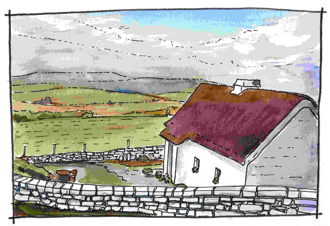
ulsterThe northern of the four historic provinces of Ireland, Ulster consists of nine counties, six of which make up the modern political region of Northern Ireland. The name derives from the Uliad -a people resident in the area in the early modern period. Closeness to Scotland has bred strong connections and is a constant theme of this region's history. Though attacked by the Vikings and partly settled by the Anglo Normans, the western part of the area remained the most Gaelic part of Ireland until the Seventeenth Century. It was transformed during this period by the Ulster Plantation, a scheme which, along with the migration of Scottish and English settlers to the eastern counties in preceding years, created a new political and social order.
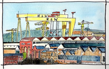
Relative security of tenure and the development of the Linen trade marked the region in the Eighteenth Century. In the Nineteenth, industrial expansion and Victorian fashions created a dominant architectural character . During the Twentieth, political unrest led to the partition of the six north eastern Ulster counties from the rest of Ireland. Northern Ireland remained part of the UK while the three remaining counties of Ulster became part of the Republic of Ireland. The Second World War and, at the end of the century, the 30 years of Northern Ireland's 'Troubles' had a significant impact in both parts of this area. In recent years, the province has seen relaxation of border controls, investment in the public realm, and the development of cultural facilities, but it has also been significantly affected by the economic downturn of 2008, from which it is slowly recovering. Click on the titles in the drop down menu above to find out more or, follow the link below. |
|


