Inishowen in County Donegal is directly north of Derry~Londonderry and is the most northerly part of Ireland. Translated as the island of Owen, it became a clear peninsula between Lough Foyle and Lough Swilly in the nineteenth century when the marshy land between the two was drained.
|
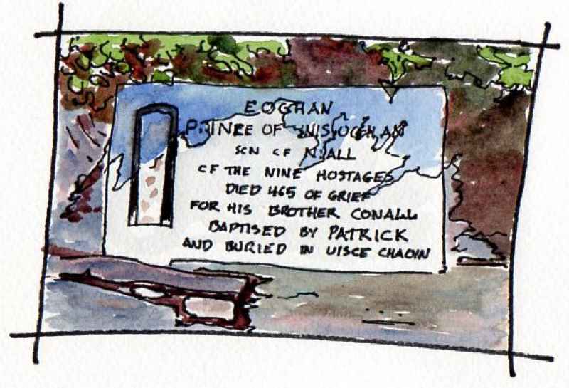
Eskaheen is on a hillside overlooking Lough Foyle at the southern end of the peninsula. Translated as 'calm water’ reputedly because of a number of holy wells in the area, its ruined medieval church has a marble plaque on its gable. This records that it is the resting place of Eoghan -the prince who’s name is given to the peninsula. Tyrone - the land of Eoghan, was formerly the area eastwards, across the Foyle and south to the current county, but the closest part was incorporated in the new county of Londonderry at the time of the Ulster Plantation in the seventeenth century. His burial at this site is recorded in the Annals of the Four Masters.
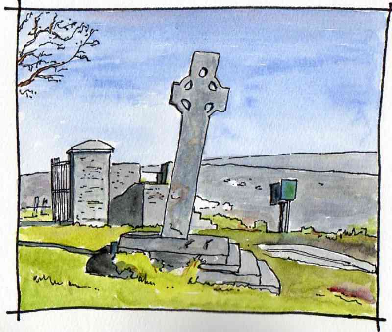
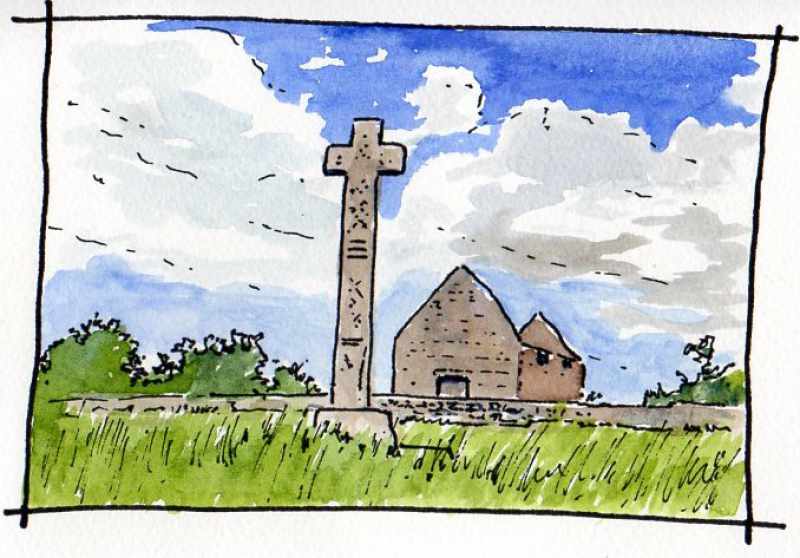
Next, Cooley graveyard overlooking Lough Foyle above Moville. This unusual high cross has a hole in it which has been suggested by some to be a hole for a sundial rod. Inside are the ruins of a church and a small stone roofed building known as the ‘skull house’. This is likely to be the grave of a founding saint as at Banagher and Bovevagh in County Derry. Archaeologists carried out investigations here in 2014 identifying circular boundaries of an early monastery around the graveyard. It is a very atmospheric place and well worth the visit.
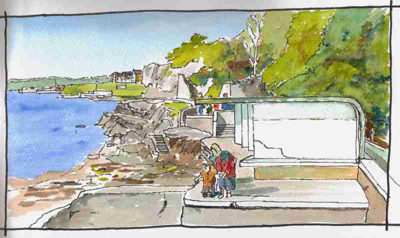
The shore walk between Moville and Greencastle is a hidden gem and well worth the visit. Illustrated is the bathing shelter along that route designed by the architect Liam McCormick in the late 1940’s. This encapsulates the sprit of early twentieth century European Modernism which advocated pure white forms in light as an ‘International Style’. The building was badly damaged in storms last year and it is a credit to those involved that it has since been restored
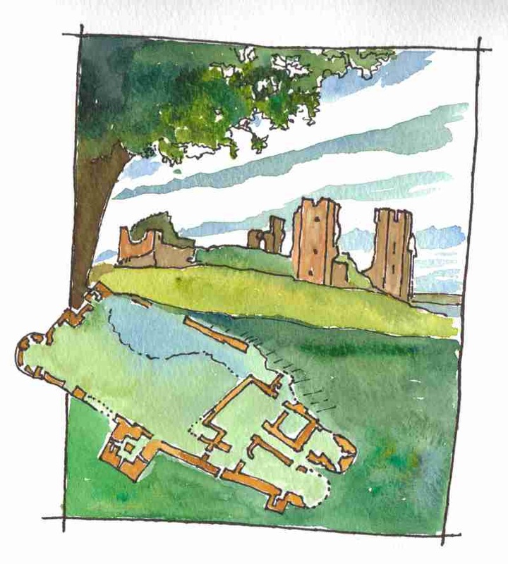
Greencastle is dominated by Northburg Castle. Construction was started in 1305 by Richard De Burgo, 2nd Earl of Ulster. This was the main Anglo Norman stronghold in the north west and was reputedly based upon the design of Caernarfon in Wales. A strong ‘curtain wall’ enclosed a lower and upper ward with a timber great hall. The power of the Normans in the area was fatally weakened by the campaign of Edward the Bruce of Scotland in 1315-18 however and De Burgo had lost control by 1322. To one side of the castle a tower house was constructed by the O'Doherty’s in the fifteenth century.
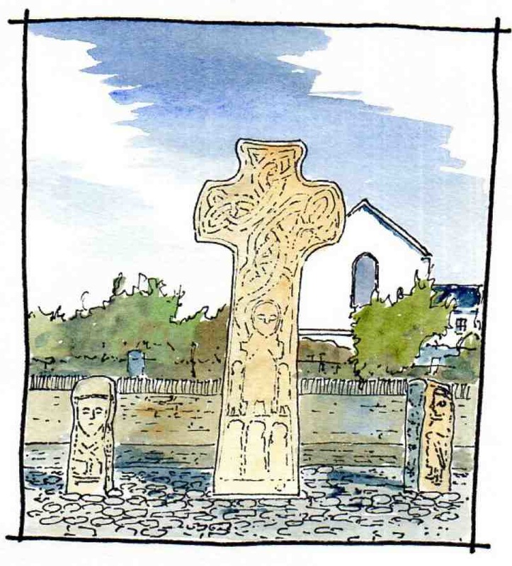
Further north at Carndonagh is a high cross at the edge of the town. This is reputedly the earliest high cross in Ireland with carving. The cross has Celtic knot work at high level and what looks like a Christ figure at lower level flanked by two smaller figures and underneath three more figures. On each side of the cross are two pillars with full size figures. On the right, a soldier with a sword and on the left, a pilgrim with a bell and satchel
Cloncha church north of Carndonagh near Culdaff is another fascinating place. This was another significant early ecclesiastical site as attested by the remains of two high crosses and an early decorated stone lintel built into the entrance of the later current church. Inside, is the tombstone of a Gallowglass- a Scottish mercenary, with as well as a sword, a carving of a hurley stick and sliotar (ball).
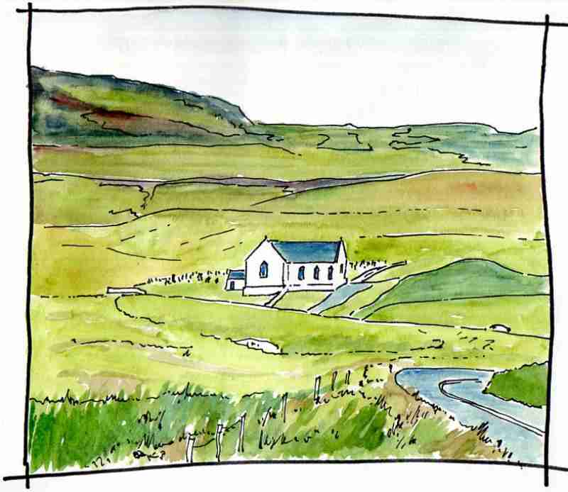
Next up, Lagg Church, 5km from Malin town. This sits in isolation among green hills. A remote and very beautiful place. The building was the first catholic church built in Inishowen (1784) following the introduction of penal laws against the religion in the 1690’s.
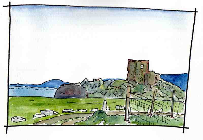
Carrickabraghy Castle is situated on the Isle of Doagh, around the corner from a fine view of Lagg Church on the opposite side of Trawbreaga bay. The building is shown in a map of 1690 as a tower house surrounded by an oval bawn wall with seven circular towers. Today, one circular tower survives against the keep. It is thought to date from the sixteenth century and was a castle of the O'Doherty’s, It is a very atmospheric place recently well conserved after local fundraising.
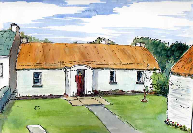
On Binion Hill between Ballyliffin and Clonmany is the townland of Upper Annaugh, This historic building is now gone but it means a lot to me as I spent ten summers here as a child. Rope thatched in the local vernacular tradition with a low curved ridge and pegs along the eaves to secure the ropes, this was a direct entry house with a traditional ‘bed outshot’ to the rear
|
|
