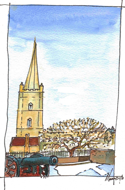
Derry~LondonderryLocated in the North West of Ireland, Derry~Londonderry is a city of around 100,000 people with a hinterland accommodating 250,000. Located near the modern border between Northern Ireland and the Republic of Ireland, for much of the medieval period it was also a border city partitioned between the Cenel Eogan, who had lands to the North and East, and the Cenel Connail, who had lands to the West.
The location of the most ambitious part of the Ulster Plantation, its Seventeenth Century Walls and grid iron 'ideal plan' survive within the modern city. The marks of the Enlightenment can be found in graceful Eighteenth Century buildings. Nineteenth Century Industrial expansion and the influences of Victorian fashions are also recorded by its structures. In the Twentieth Century, the city, as the most westerly port in the UK, was central to the Battle of the Atlantic. It was also significantly affected by 30 years of 'the Troubles' at the end of the century. All of these changes have left their mark. In recent years, the city has been transformed with investment in its public realm, the conservation of historic buildings and the development of cultural facilities. Click on the titles in the drop down menu above to find out more or, follow the link below. |
|


