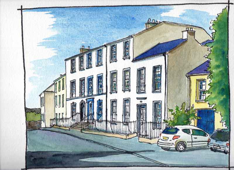
The houses lining the Bowling Green are also Georgian in style and date from near the end of the period – the 1830’s. They also have carefully proportioned sash windows with small panes with decorated doors. They are similar to buildings constructed right across Ireland and Britain at that time.
|
23. Georgian houses- Bowling Green, Strabane
The houses lining the Bowling Green are also Georgian in style and date from near the end of the period – the 1830’s. They also have carefully proportioned sash windows with small panes with decorated doors. They are similar to buildings constructed right across Ireland and Britain at that time.
0 Comments
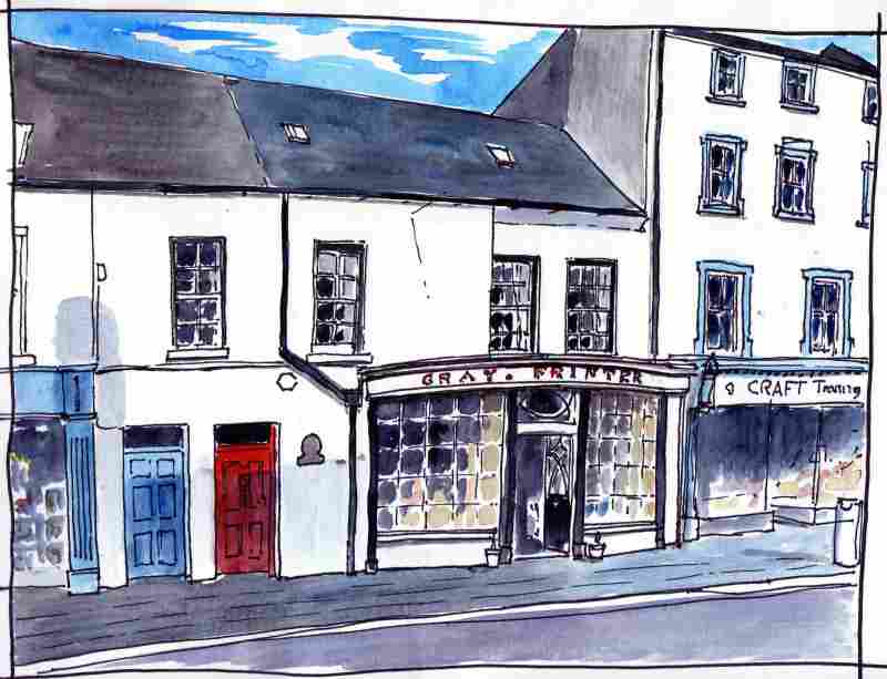
22. Georgian Shop- Gray’s Printer’s.
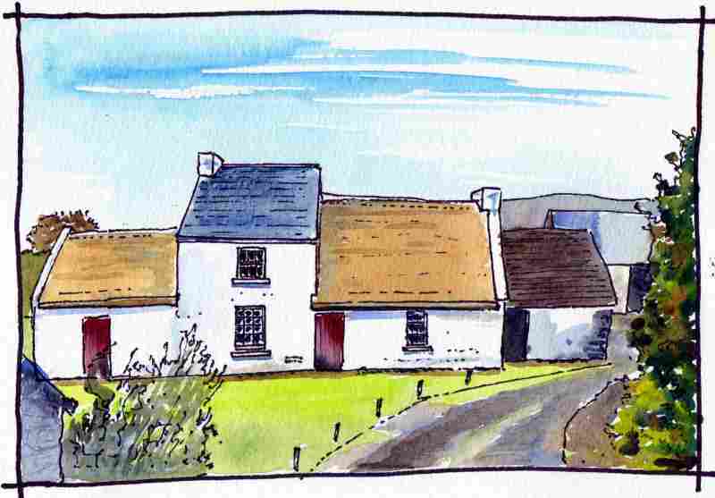
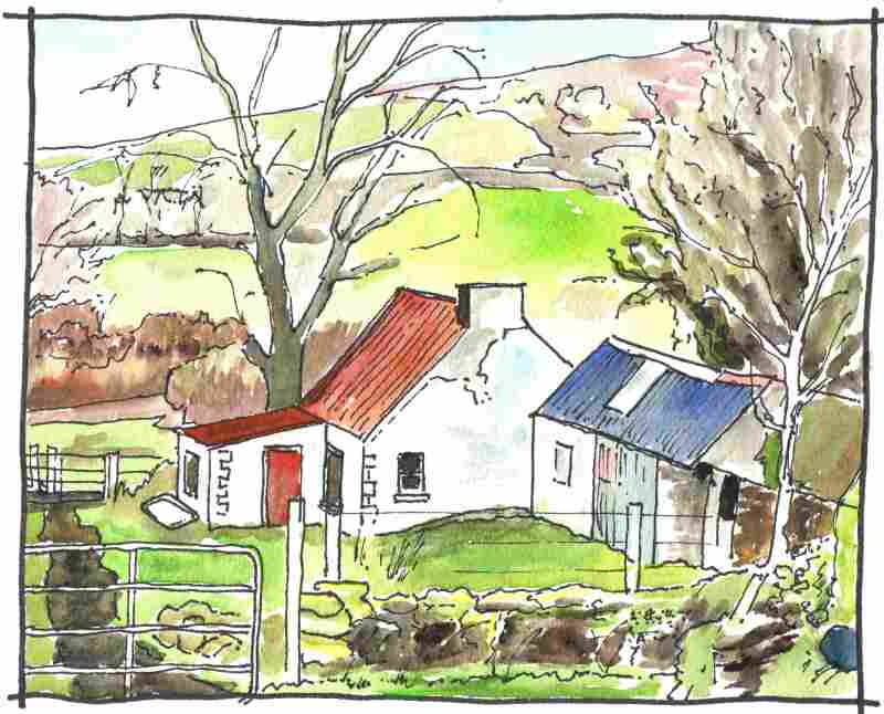
Strabane was thriving during the Eighteenth century and Gray’s printers is a very good example of the sort of elegant shops that could be found in the town. Also in the Georgian style it has a bow fronted window of high quality and a date of 1760 inscribed over the door. It has been preserved because of its link to John Dunlap, printer of the American Declaration of Independence who reputedly served his time in the shop, one of 10 printers in the town, before emigrating to America. It is now in the ownership of the National Trust and houses a good tea shop on the ground floor. 19. Rural Houses – The Wilson House. The Wilson House in the outskirts of Strabane, is a good example of a typical rural house of this area. Any differences in custom between the houses of locals and settlers had been amalgamated by the Eighteenth Century in a use of common materials and a reaction to a common climate. Known as the ‘direct entry’ type, its entrance opens onto a living space with a fire on the furthest cross wall. A thatch roof covers lime washed stone walls. The raised portion with slate roof dates from the nineteenth century. This building has been preserved because it is reputedly the ancestral home of President Woodrow Wilson. His ancestors left this area in 1807 and emigrated to America. Other houses in the area had corrugated metal put over their roofs in the early twentieth century to ease maintenance. This example is near Plumbridge. 15. Strabane’s oldest churchyard- Patrick Street Graveyard.
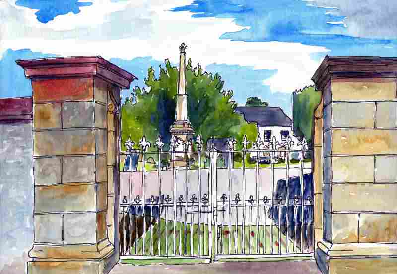
The ‘principal undertaker’ in the Strabane area in the Ulster Plantation was James Hamilton, 1st Earl Abercorn. A privy councillor in the Scottish court he was encouraged by the King to take part in the plantation of this area. He was instrumental in Strabane receiving a Royal Charter in 1613 and had built a ‘strong and fair’ castle there (in Castle Street) by 1618 but the town was not fortified. The town corporation had 13 members. The Earl also began construction of a church but this was not completed until later in the century. This building was cruciform in plan and demolished in the 1870’s. Its surviving entrance gates are very Georgian in character and probably date from the Eighteenth Century. 12. The coming of the English- Strabane’s first map
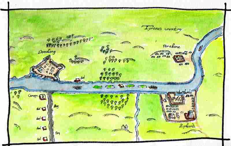
Part of this defensive activity in the Sixteenth Century may have been a reaction to increased English interest in the Strabane area. Henry VIII declared himself King of Ireland in 1560 and by 1595 O’Neill and O’Donnell were in open rebellion against his daughter Elizabeth I. This is a copy of the first map drawn of the area with some colour added. It was drawn in 1600 to record the fortifications erected by the English along the Foyle during what became known as the Nine Years War. O’Neill had demolished his tower house in Strabane by this time but O’Donnell’s tower in Lifford can be seen. 6. Early Christian era- Camus Juxta Mourne church.
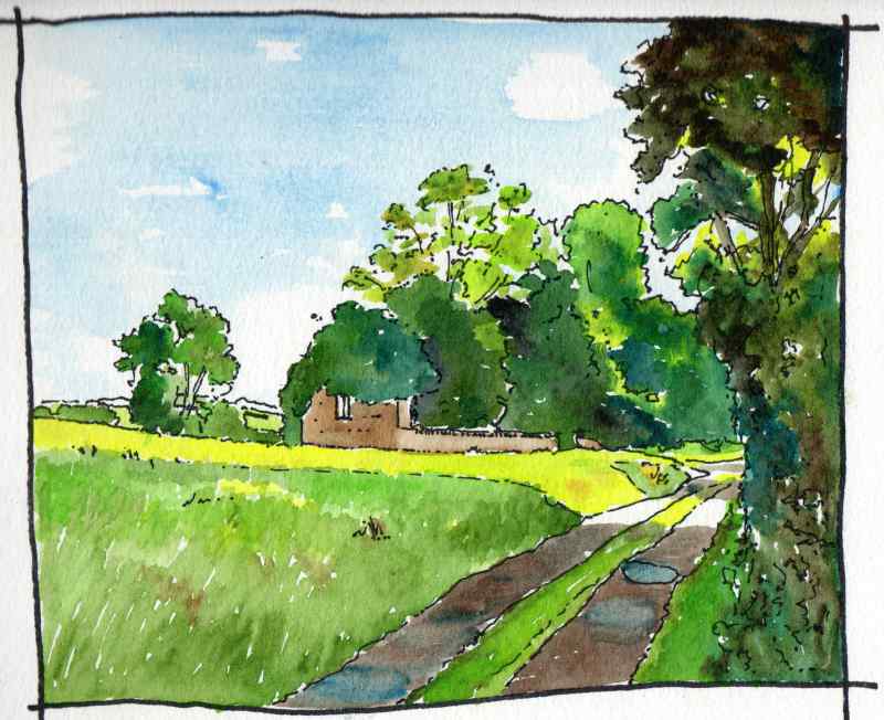
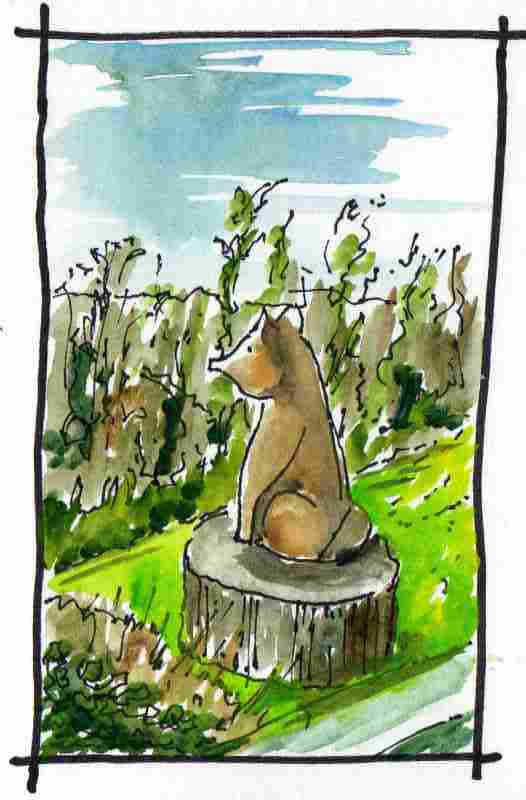
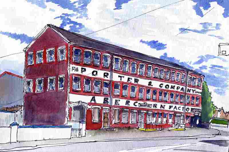
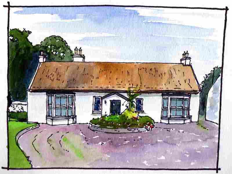
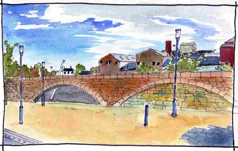
Closer to Strabane is the ruin of Camus Juxta Mourne Church. Reputedly founded by St Colgan in 586 it is the original parish church of what is now Strabane town. As with Ardstraw, the original church would have been in timber. The present stone built church is a rebuild of the medieval church and was ruined in the 1642 Rebellion. It has a small window on its east gable with a round head -the form of the Romanesque architectural style introduced to the island from Europe from the tenth century onwards. An unusual sculpture on the road back into Strabane, This is a timber carving of a fox sitting on a tree stump as a curve in the road looking over a fine view. It is dated ‘27/5/08’ by 'Liam Kennedy, Strabane’. The Abercorn Factory near the centre of town is the main industrial building to survive in Strabane. Built as a shirt factory in 1865, it is located across the road from warehouses built to serve the canal basin. The top of the thatched roof of Woodend Cottage is visible from the main Victoria Road before it enters Strabane. This pre 1833 house is an unusual building and a rare survivor in Ulster. It does not have a vernacular plan as most thatched houses do, but rather, has a formal arrangement of rooms similar to those found in Georgian houses of the period. The canal ran four miles from Campsie's Lock to the centre of Strabane where it ended here in the canal basin. For most of its length it has now gone back to nature, but it is a nice walk/ cycle along the adjacent road. The basin has been filled in and is now used as a car park and public events space. Most of the warehouses that once used to surround it have also been demolished. Some industrial buildings do survive, however, and the 1990’s landscaping, shown here, was clearly intended to complement these and recall the former function of the space.
|
Marks of Time
Sketches of buildings in the North West of Ireland and further afield with a little information about their history. Categories
All
Archives
April 2024
|

 RSS Feed
